
| Darin McQuoid | Blog | Reviews | Tutorials | River Directory |
Big
Kimshew Creek V+
Perhaps the most notorious commonly run creek in California, Big Kimshew Creek flows out of the Northern Sierras into the West Branch Feather River near the town of Paradise outside of Chico. Plagued by a short season and tricky shuttle roads, Big Kimshew Creek is as well known for both denying access to traveling kayakers and its big waterfalls. As of 2012 access to Big Kimshew is gone, because both the road to the put-in and take-out are gated courtesy Sierra Pacific. Give them a email to let them know what a shame this is: sierra@spi-ind.com.
Big
Kimshew at its
finest. May 8th, 2008.
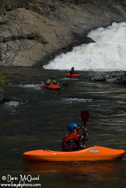

This was to be my third attempt at Big Kimshew, snow and/or gates stopping us on the previous attempts. The window in Kimshew can be short, most years it only has flows for a few weeks after the roads clear of snow, and often the flow winder is even shorter. This year, however, we knew we were in luck. Taylor Robertsonhad worked his connections and found out that not only were the gates open, but the road was plowed due to active logging operations. Not only did we have guaranteed flows and access, but the ideal trip leader for a day on Big Kimshew, Taylor is renown as the “Mayer of Kimshew” with over six runs in just one season, and years of experience, no one knows the lines better.
Having this and other members experience on the creek was key, because of a leisurely start and rolling deep with a group of ten people, we knew that trying to maintain downstream movement would the tune of the day.
Right
off we had to figure out a decent shuttle option, how to get ten
people, boats and gear to the put in? One large Ford pickup, courtesy
Devin Knight. May 8th, 2008.
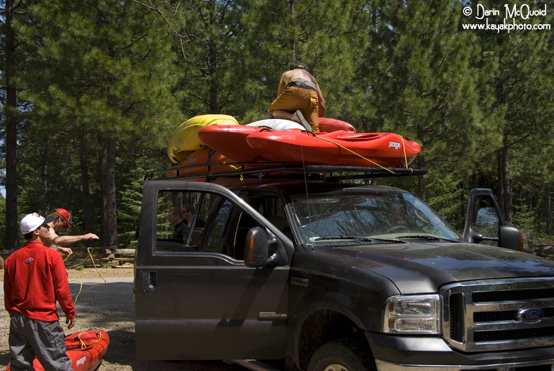

The shuttle on Kimshew can be complicated, but this was Taylor’s third Kimshew mission of the week and Ben's second day in a row, so we were set. The shuttle starts off as Reston Road, and then follow “200R” until the only spot on the drive Big Kimshew is visible from.
Jesse Coombs can’t
help but smile
at the first glance of the goods. May 8th, 2008.
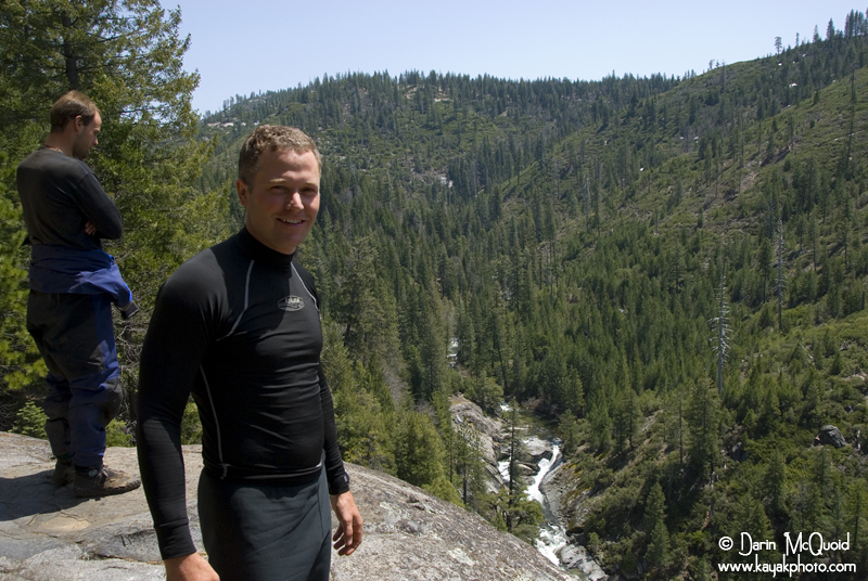

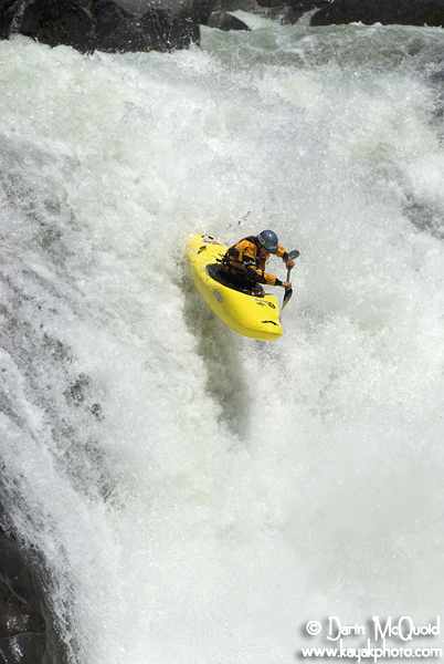
Parking at the overlook, we quickly unleaded and headed fifty yards further down the road to a steep game trail that led to the lip of the island portage, cutting off a mile of “boogie water” and shortening the day to six miles. Boogie water on Kimshew is better than most runs, and after a few slides and boulder gardens we scrambled into an eddy above the first twenty footer. The entrance is a little dubious, requiring a move up over a barely covered sieve, an then finishing right.
Jesse
Coombs. May 8th, 2008.
Scott Ligare. May 11th, 2009.
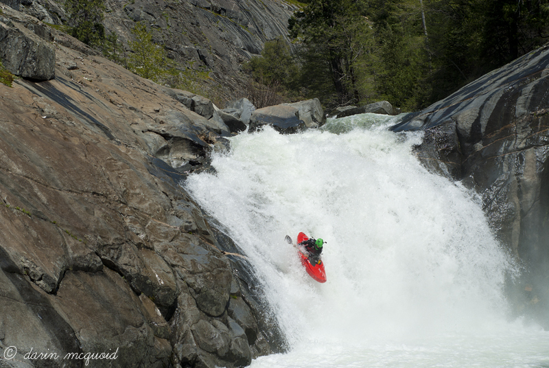
Chris Tulley. May 11th, 2019.
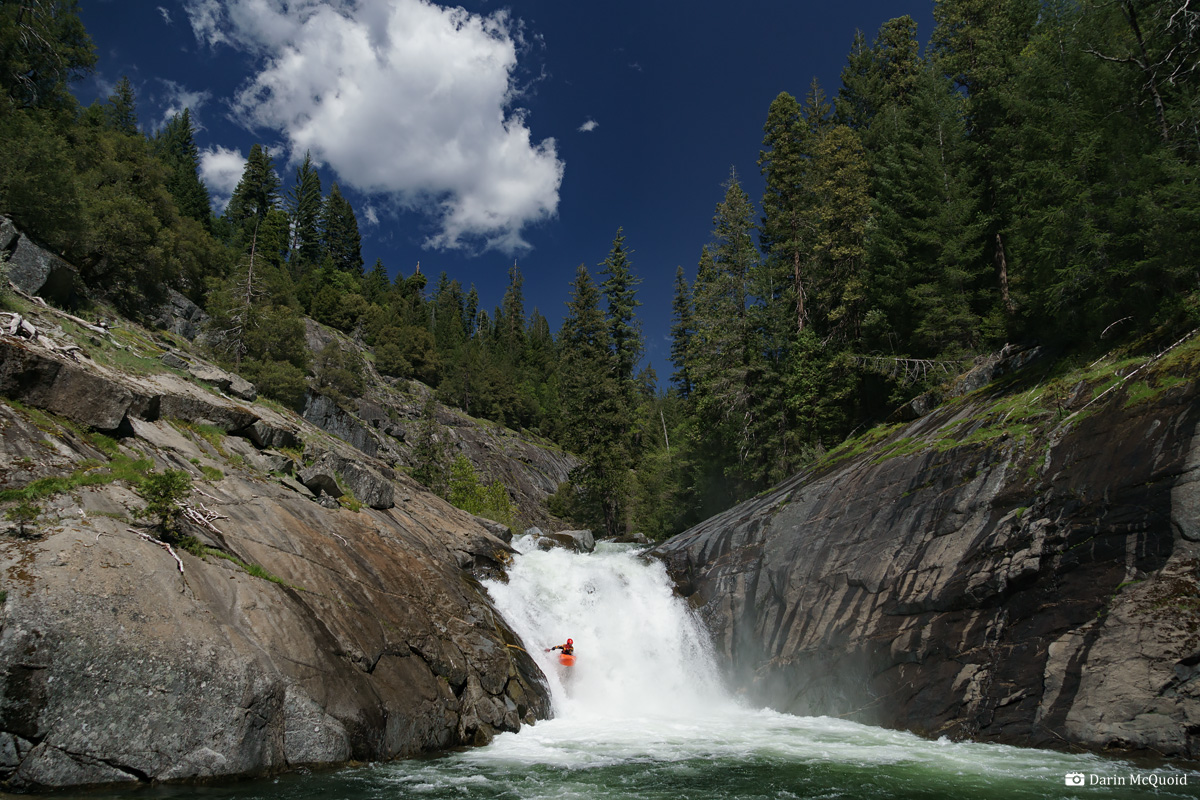

Scott Ligare. May 11th, 2009.

Chris Tulley. May 11th, 2019.

Typical
boogie water on Big Kimshew Creek below the 20 footer, in some ways
this is the toughest section due to mank and danger factor. May 8th, 2008.
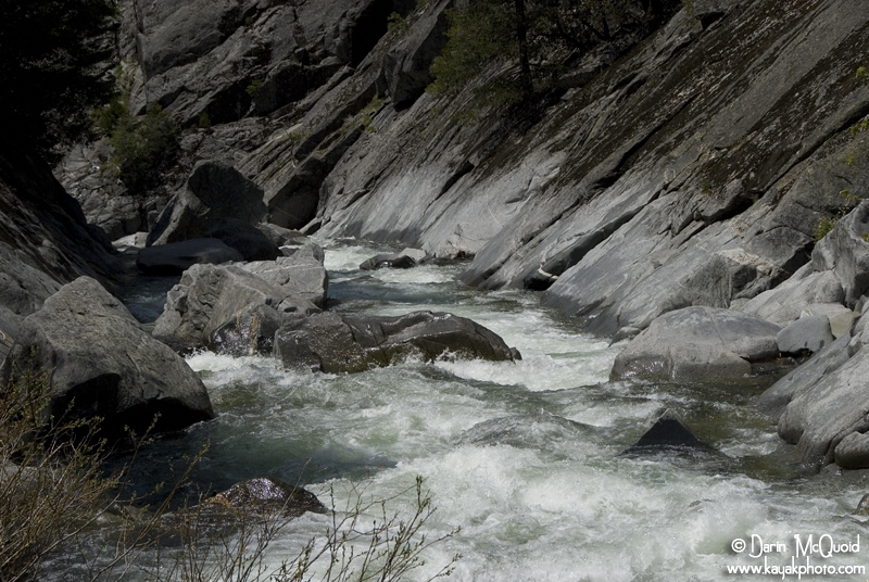

Not far after the waterfall were scouting “LJ’s” a tricky tight slot into several sticky holes, where Taylor styled through, Ben pulled a quick roll and I surfed one of the holes for too long before working my way out and running the rest of the drop. Whew, I was awake after this one!
Scott
Ligare in the entrance of LJs. May 11th, 2009.
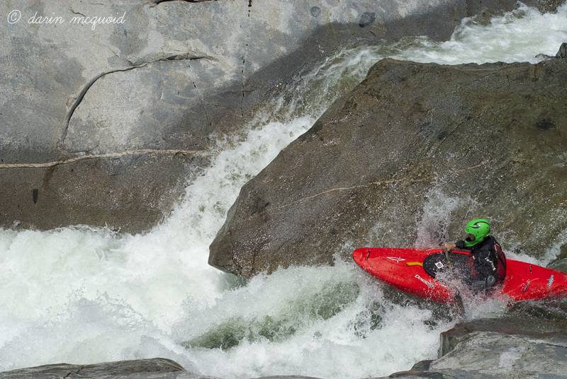

A shallow landing at the bottom of LJs makes a swim very dangerous...driving left isn't too hard as long as you're not swimming. May 11th, 2009.
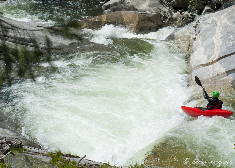
Ben York exits left at LJs. June 27th, 2011.
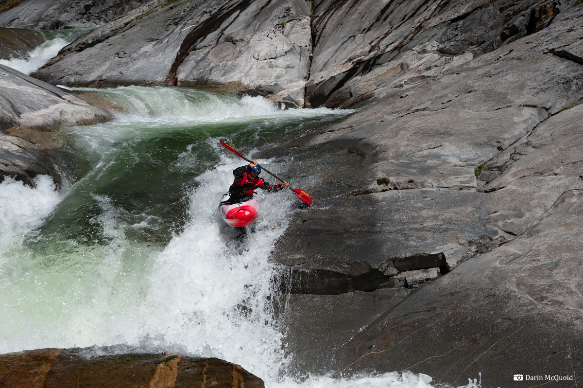
Tracy Tate. May 11th, 2019.
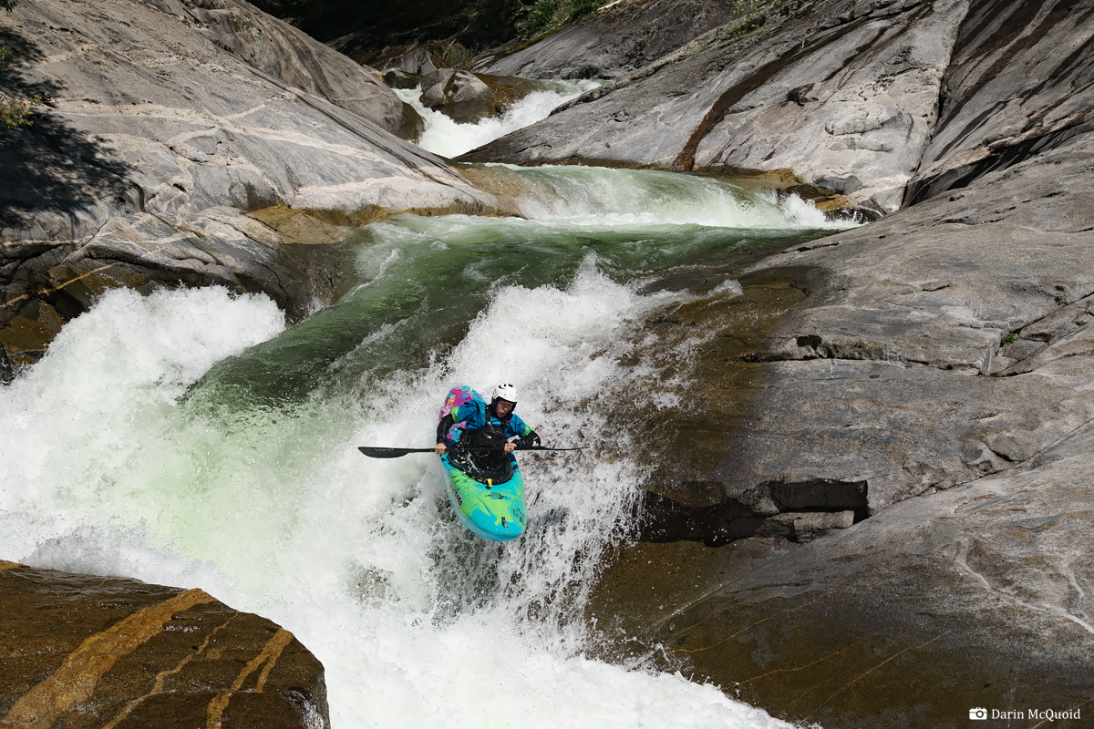
Jesse Coombs. May 8th, 2008.
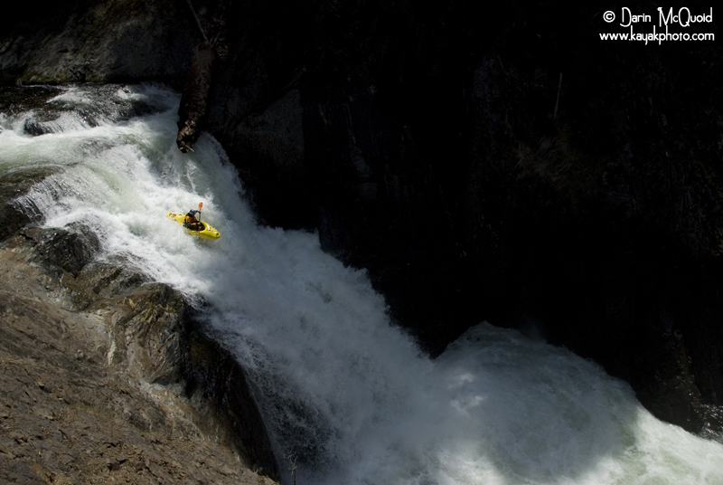
Taylor Robertson runs Kimshew Falls. May 28th, 2010.
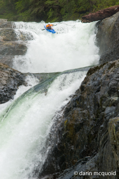
Gareth Tate, May 13th, 2019.
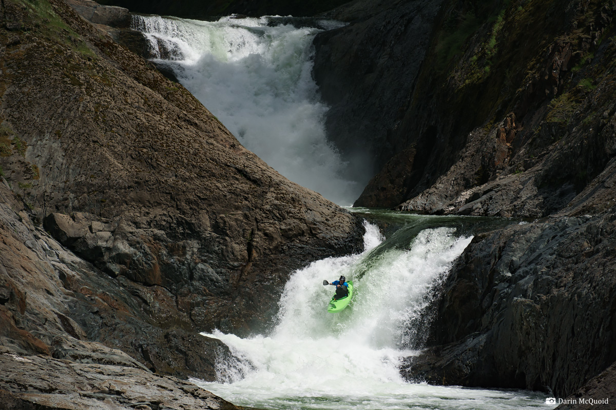
Chris, Taylor and Jesse below Kimshew Falls and above the bedrock section. May 8th, 2008.
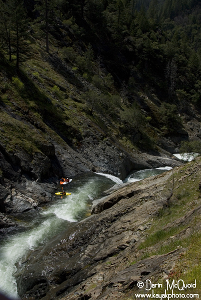
Jonas Grunwald in the bedrock section. May 28th, 2010.
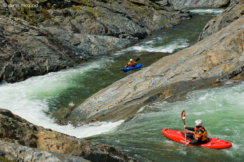
Below Kimshew Falls the next quarter mile is unbelievable, bedrock slide and waterfall back to back until triple drop.
Gareth Tate. May 13th, 2019.
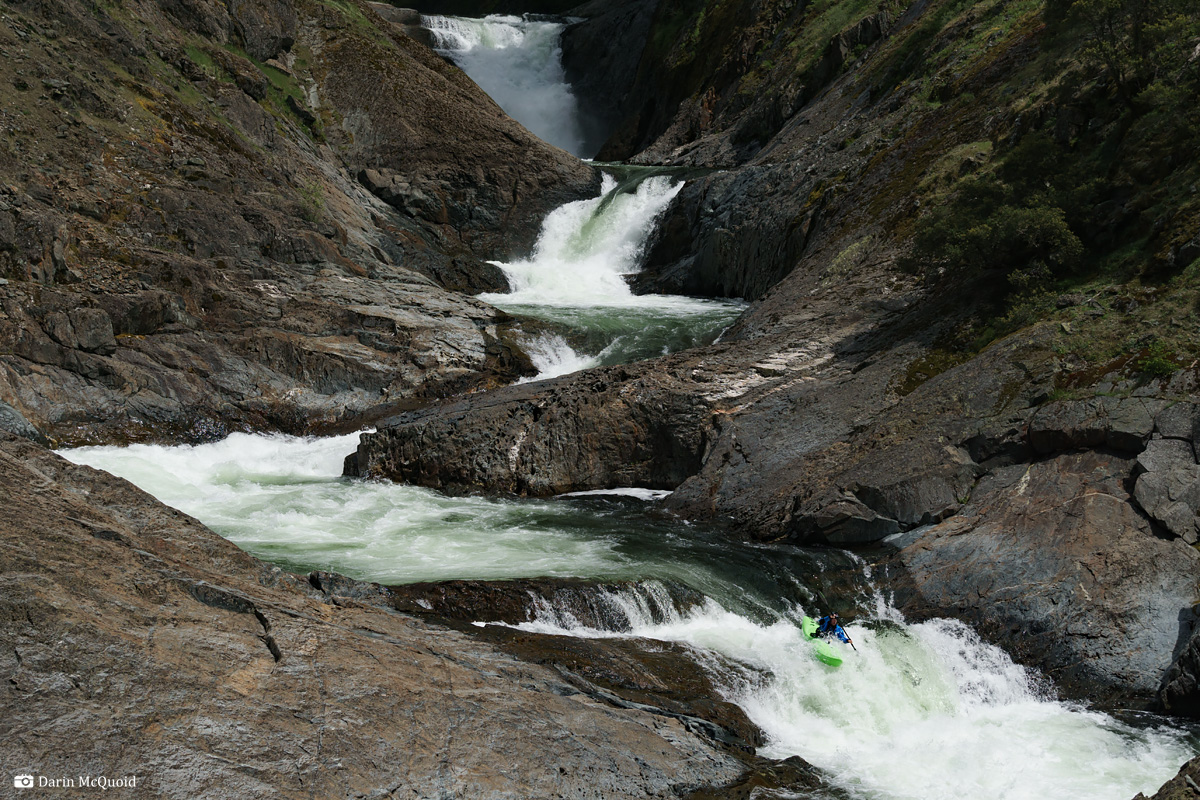
Pedro Oliva, "Chicken f-cker" slide above Triple Drop. May 8th, 2008.
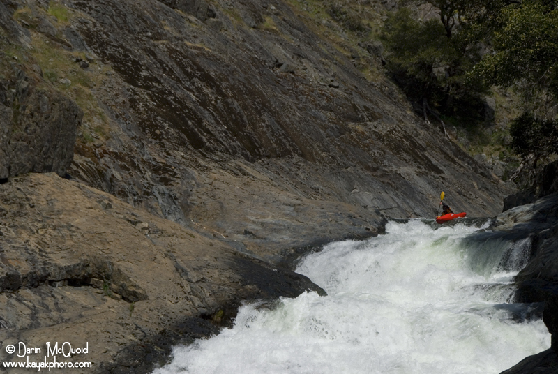
Triple Drop is the most commonly portaged rapid on Big
Kimshew Creek, and it's a massive slide dropping over several tiers and
then into the wall, making a hard left turn and creating an inescapable
eddy on the right. Ben and Chris gave it a good scout before deciding
to run it.
This slide is steeper and longer than it looks. Ben Stookesberry. May 8th, 2008.
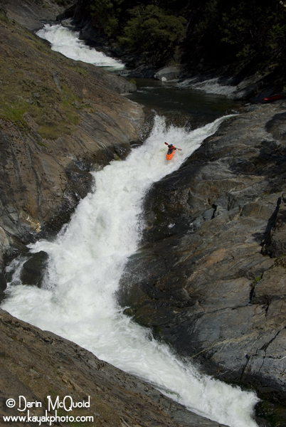
From the top I could tell that Chris liked it, and I’m sure Ben’s smooth line didn’t hurt.
Chris Korbulic giving ‘er one last look. May 8th, 2008.
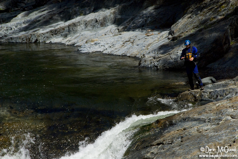
Chris Korbulic at the top of Triple Drop. May 8th, 2008.
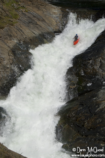
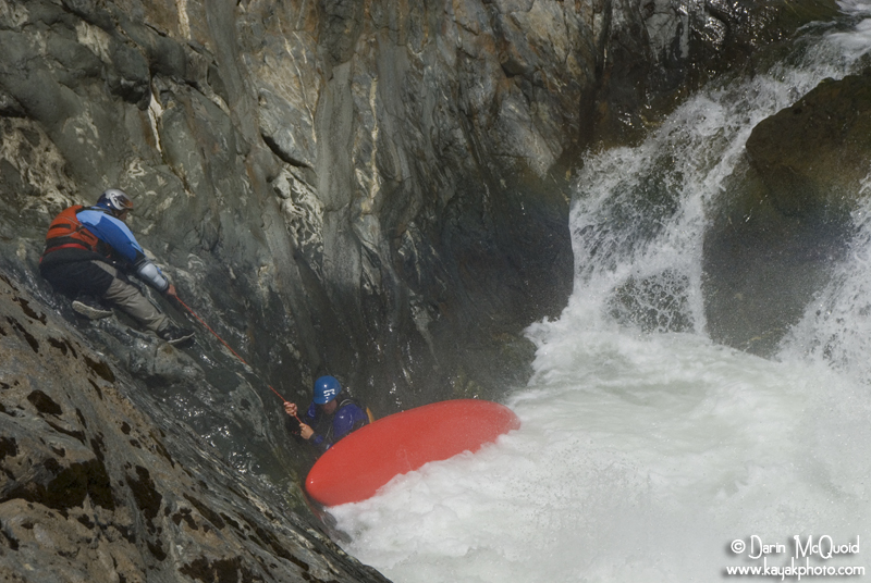
Not getting as far right in the entrance as Ben, Chris ended up in the eddy on the right. Thankfully Devin had set safety before hand and was there to help Chris out of the eddy.
Good safety, Devin Knight helping Chris Korbulic. May 8th, 2008.
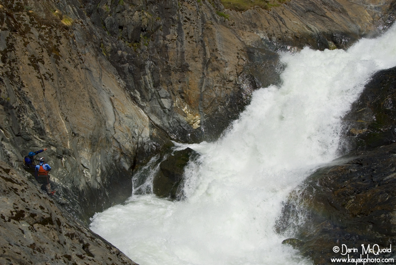
Looking back up and evaluating his line. May 8th, 2008.
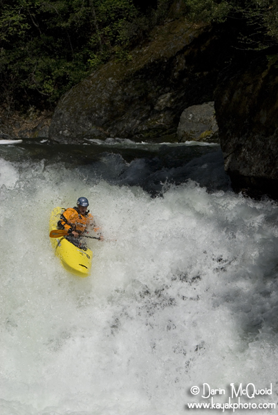
While the rest of the group
finished portaging Tripe Drop, we paddled
with speed down through several narrow sticky slot drop holes and a few
great slides that are between Triple Drop and Frenchys.
Jesse Coombs, typical Big Kimshew read and run. May 8th, 2008.
Devin Knight enjoying some scenery…May 8th, 2008.
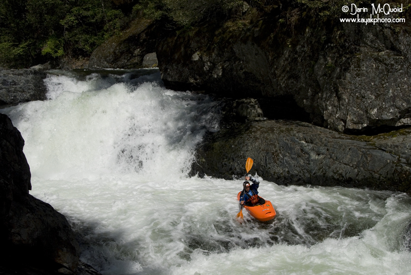
The lead in to
Frenchy’s 40 is every bit as large as the
above
drop, and a it’s right at the
lip of
a tricky forty footer, making it a common portage.
We all portage around the lead in, and a few of us chose to run the waterfall while some walk. Frenchy’s 40 is a tricky drop, the wall is only ten to fifteen feet from the landing, and while it’s temping drive hard left, doing so involves a auto boof flake into green water, a hit taken yesterday that Ben described as one of his worst….ever.
We all portage around the lead in, and a few of us chose to run the waterfall while some walk. Frenchy’s 40 is a tricky drop, the wall is only ten to fifteen feet from the landing, and while it’s temping drive hard left, doing so involves a auto boof flake into green water, a hit taken yesterday that Ben described as one of his worst….ever.
Jonas Grunwald charges over Frency's Forty. May 28th, 2010.
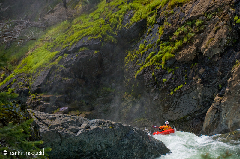
Taylor Robertson leading the charge over Frenchys. May 8th, 2008.
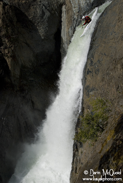
Devin Knight hitting the ideal line on the forty footer. May 8th, 2008.
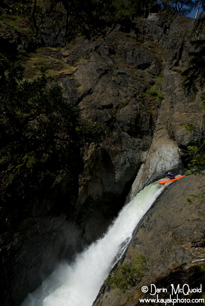
Chris Tulley, May 11th, 2019.
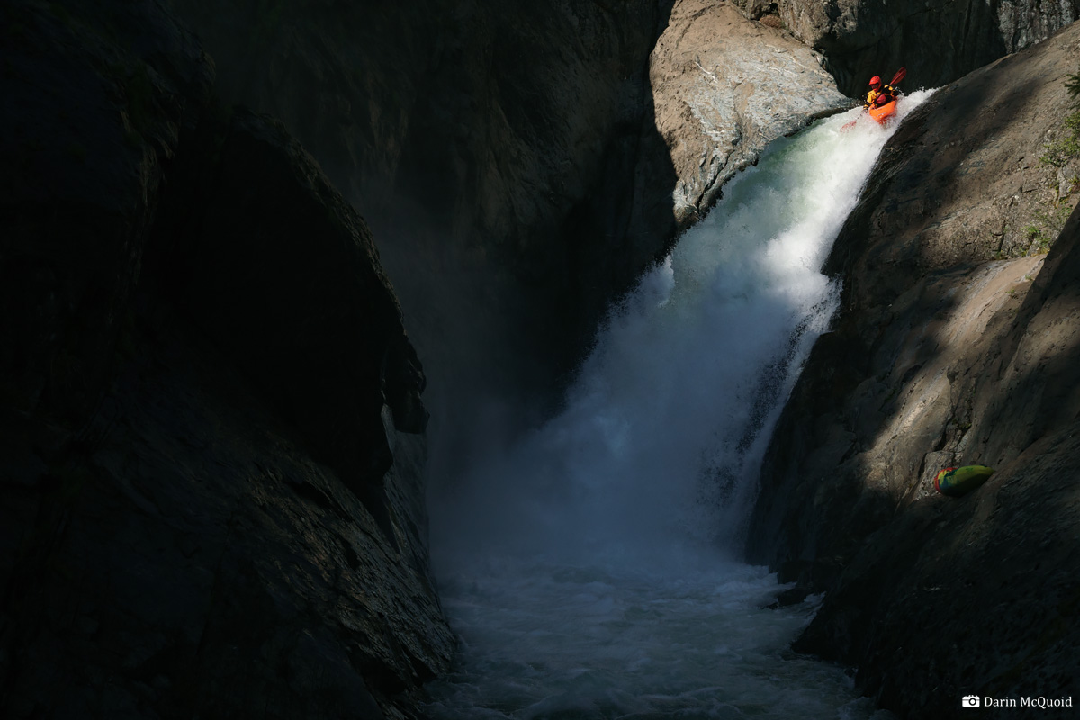
Watching Taylor, Devin and
Jesse style Frenchys, I decided I was
motivated and seal launched in from river left, ferried across and
locked in. Following Devin’s advice, I left the eddy high up
and
came down just left of center, pulling up my right knee about halfway
down the drop, plugged in deep to the soft pillow and resurfaced
upright with a huge grin.
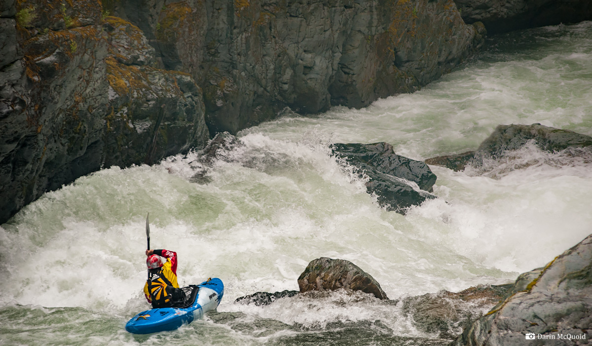
Even though the waterfall seems like the end of the run, several significant drops lie below it, including one portage around a very sticky hole that has been run. The scenery on Big Kimshew Creek is amazingly diverse, from pure California scoured granite to West Virginia dense forest overhanging the river, it seemed to have it all. Eventually we came around a corner and eddied out with our takeout bridge in site, a site for sore eyes and muscles. The last drop on Kimshew is as classic as the rest of the run, a nice fifteen to twenty foot falls, boofed melting into a fold. (Note, it changed in 2018/2019 and has a hidden pin rock, it's best portaged).
Thomas
Moore enjoying some nice Big
Kimshew scenery. May 30th, 2019.
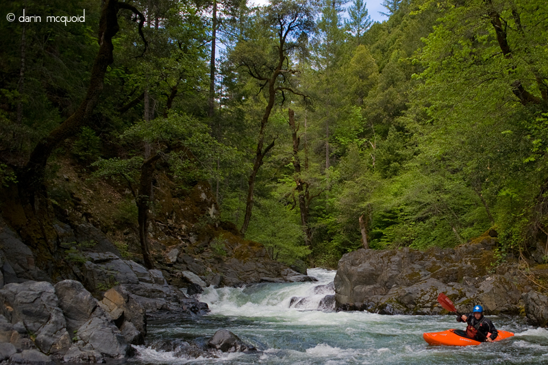

Even though the waterfall seems like the end of the run, several significant drops lie below it, including one portage around a very sticky hole that has been run. The scenery on Big Kimshew Creek is amazingly diverse, from pure California scoured granite to West Virginia dense forest overhanging the river, it seemed to have it all. Eventually we came around a corner and eddied out with our takeout bridge in site, a site for sore eyes and muscles. The last drop on Kimshew is as classic as the rest of the run, a nice fifteen to twenty foot falls, boofed melting into a fold. (Note, it changed in 2018/2019 and has a hidden pin rock, it's best portaged).
Devin Knight finishing up a great day on Big Kimshew. May 8th, 2008.
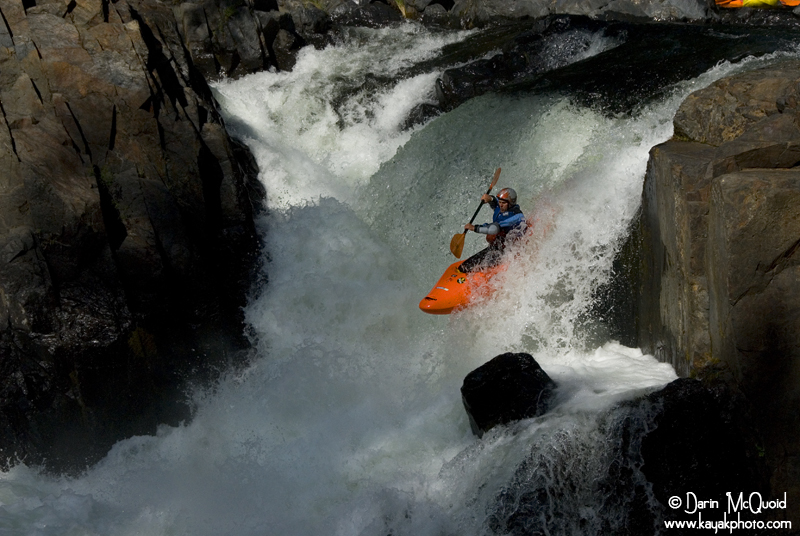
Chris Gabrielli, afternoon light & delight. May 8th, 2008.
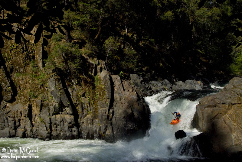
On the whole Big Kimshew is
a classic for class V boaters, but expect
to walk away tired and quite possibly sore from taking a few hits, we
had three swims, two broken paddles and one broken boat with ten people
on the water. Shuttle logistics if by some miracle the gates are open; Take out: Get on
the Skyway in Paradise headed East. Near the edge of town, at a
stoplight, make a right turn on Coutolenc Road. Follow Coutolenc Road
for .5 miles until an unsigned right turn onto Jordan Hill Road (dirt).
There is a "Road not County Maintained" sign. Follow the rough dirt
road downhill until you see Whiskey Flat Bridge. Park where
appropriate. From Whiskey flat bridge backtrack to Skyline and make a
right hand turn. Proceed ~10 miles to Sterling City and make a right on
Reston Road (unsigned) towards Menlo Park (signed). Pass Menlo Park and
stay to the left when the road forks. Continue on Reston Road but stay
right on "R Line" when Reston Road turns to the left. Follow
R
Line for several miles until you see a sign
for “200R”. Make a right turn on 200R and
follow it
until the obvious overlook. Park in the next wide area to put in at the
Island Portage, or continue up to where the road meets the river.
The flow window is short, and it generally flows during the peak of snow melt in May. In most years look for the flow at Whiskey Flat Bridge to be 500-700. Update for 2018/2019, best ideal flow seems to be between 750-1050 on the gauge.
Things change: As of 2012 there are two gates on the road to put-in, as well as one on the road to the West Branch Feather and Big Kimshew Creek confluence. Thas means no access until the situation improves.
2019 Update:
No matter which way it's done, you need a high clearance car to get to put in, a Subaru can't do it. A stock Tacoma is ok but may lightly bottom out in a muddy section.
Option 1: Hike out at the Big Kimshew/West Branch Feather confluence with a long shuttle. 3 miles uphill hike to Sterling City, pretty steep. Looking downstream at the confluence bridge, you hike to your right. After ~.5 mile there is a side road to your right. Take this, the well traveled route is about 5 miles long but not as steep.
Option 2: Hike out at the Big Kimshew/West Branch Feather confluence with ~2hr less driving than the other side. Longer hike out. Looking downstream at the confluence bridge, you hike to your left. Its about 5 miles to the gate.
Option 2: Paddle the Secret Stash down to Whiskey Flat. Very rough rocky road down to Whiskey Flat.
Option 3: Paddle to Dean Road. 3 more miles of class III-IV but it's a decent road to take out. Make sure you scout the actual take out on the river or you'll paddle right on by.
To get to the river: Drive up Concow Road to Little Kimshew Creek, put on about 100' downstream of where the road crosses the creek. Bash willows and run low volume stuff for a ways. When you get to the huge slide, take out on river right. Hike up the hill, trending to your left until you cross a faint trail. Follow this trail downhill, until it hits a flat wooded spot. Follow the faint trail away from the river, keeping an eye to your left as you go up the flat ravine, looking for a steep trail through the brush. Follow steep trail through the brush, it climbs to the top of the little ridge. On top of the ridge go to your right and onto the old railroad grade. Follow the railroad grade through one steep ravine "the big dipper". After the "big dipper" stay on the trail until the next ridge. Follow that next ridge down to the Little/Big Kimshew confluence and put on. After putting on the river makes a split pretty soon. DO NOT take the right channel, it goes into a mining cave.
The flow window is short, and it generally flows during the peak of snow melt in May. In most years look for the flow at Whiskey Flat Bridge to be 500-700. Update for 2018/2019, best ideal flow seems to be between 750-1050 on the gauge.
Things change: As of 2012 there are two gates on the road to put-in, as well as one on the road to the West Branch Feather and Big Kimshew Creek confluence. Thas means no access until the situation improves.
Tomass
Marnics finishes a beauty on the Secret Stash. June 28th, 20011.

2019 Update:
No matter which way it's done, you need a high clearance car to get to put in, a Subaru can't do it. A stock Tacoma is ok but may lightly bottom out in a muddy section.
Option 1: Hike out at the Big Kimshew/West Branch Feather confluence with a long shuttle. 3 miles uphill hike to Sterling City, pretty steep. Looking downstream at the confluence bridge, you hike to your right. After ~.5 mile there is a side road to your right. Take this, the well traveled route is about 5 miles long but not as steep.
Option 2: Hike out at the Big Kimshew/West Branch Feather confluence with ~2hr less driving than the other side. Longer hike out. Looking downstream at the confluence bridge, you hike to your left. Its about 5 miles to the gate.
Option 2: Paddle the Secret Stash down to Whiskey Flat. Very rough rocky road down to Whiskey Flat.
Option 3: Paddle to Dean Road. 3 more miles of class III-IV but it's a decent road to take out. Make sure you scout the actual take out on the river or you'll paddle right on by.
To get to the river: Drive up Concow Road to Little Kimshew Creek, put on about 100' downstream of where the road crosses the creek. Bash willows and run low volume stuff for a ways. When you get to the huge slide, take out on river right. Hike up the hill, trending to your left until you cross a faint trail. Follow this trail downhill, until it hits a flat wooded spot. Follow the faint trail away from the river, keeping an eye to your left as you go up the flat ravine, looking for a steep trail through the brush. Follow steep trail through the brush, it climbs to the top of the little ridge. On top of the ridge go to your right and onto the old railroad grade. Follow the railroad grade through one steep ravine "the big dipper". After the "big dipper" stay on the trail until the next ridge. Follow that next ridge down to the Little/Big Kimshew confluence and put on. After putting on the river makes a split pretty soon. DO NOT take the right channel, it goes into a mining cave.
HTML
Comment Box is loading comments...
