
| Darin McQuoid | Blog | Reviews | Tutorials | River Directory |
Canyon Creek
North Yuba Tributary
IV-V
North Yuba Tributary
IV-V
It feels good to have our logistics sorted out, hopefully we can make it to the put in this attempt. We agree try for a two day trip, but also to get an earlier start. On Thursday the temperatures are projected to be in the mid 70's and by Friday that drops to the mid 50's. This means flows will probably drop as well and we should not wait for the weekend. We'll put on Thursday, April 26th, 2018. Gauges indicate that we should have around 200cfs on Canyon Creek. To find the flow you subtract Goodyears Bar Gauge from the North Yuba Below Slate Creek, and the majority of that flow should be from Canyon Creek. We're hoping the paddle most of the river our first day.
Joseph and I are in for sure, Gavin says he "should be making it". Kayakers are by nature, characters. Some more than others. Knowing Gavin's propensity to run late, I specifically ask him to be on time: 8:45am in Brownsville, CA. By 7:44am he says he'll be "five to ten minutes late". Joseph and I bring both our vehicles to Brownsville just to be safe for our shuttle. As we meet on time in Brownsville, we get a message from Gavin, he is forty-five minutes away and has lost the key to his gas tank. Ok, we'll start running shuttle then, and if he finds us on shuttle then having three on the water is better than two. He finds us after we've dropped a car at take out, and we combine and head to put-in.
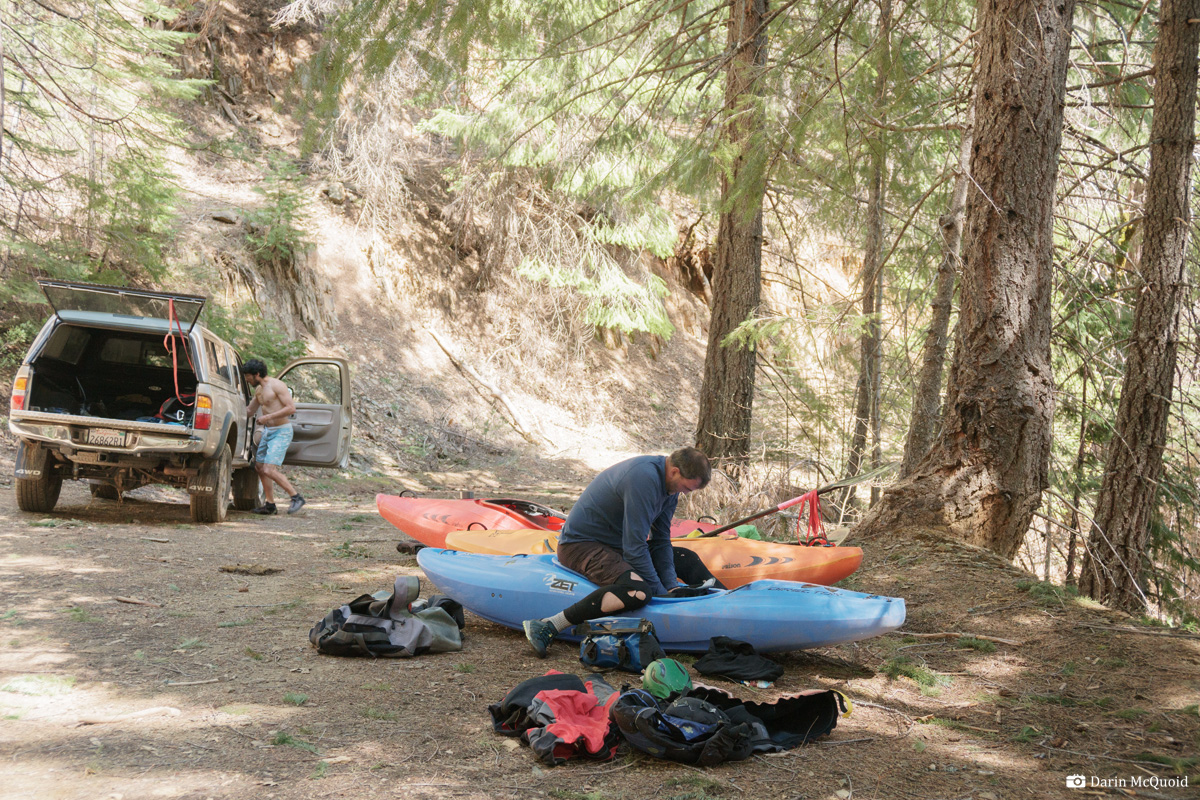
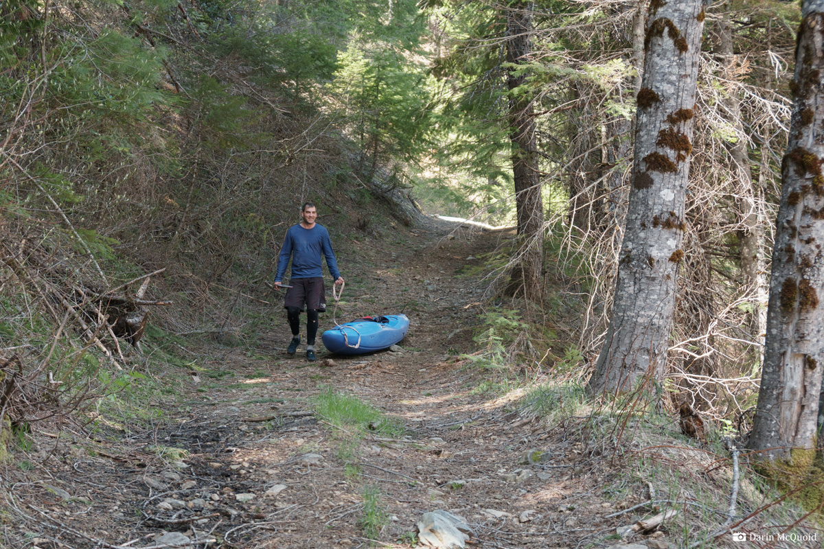
The final drop to the river is a rough road which is just as fast to drag boats down as drive, thus we pack gear at the top.
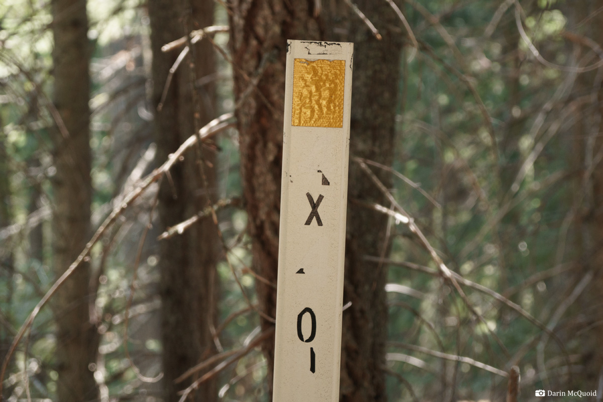
I wonder what it used to say?
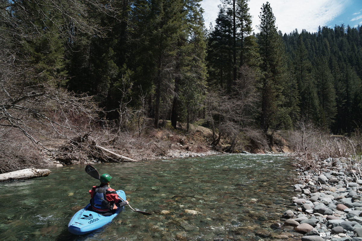
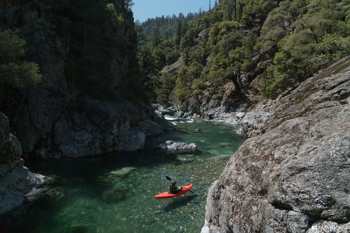
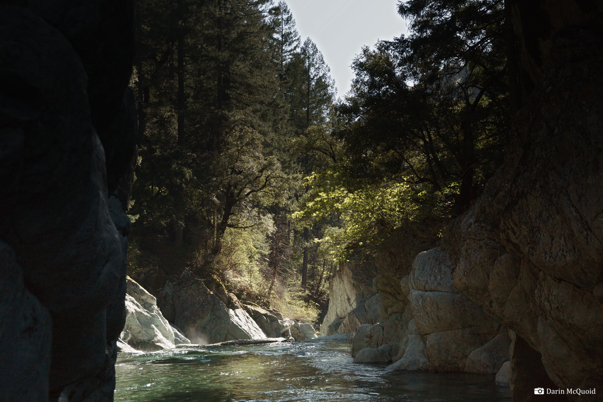
Joseph gets his first sight of the crystal clear water.
Ready
to go at one of the few wide spots in this deep canyon, water quality
is some of the best I've seen. Flows are just enough.
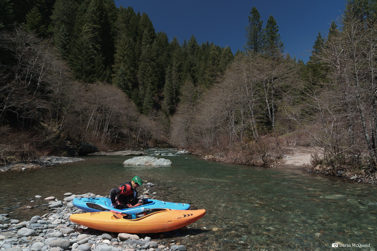
It has that floating on glass feeling. 1:22pm and we're on the water moving downstream.
Out
of the gates we learn a little about the early on character as a small
drop hides a terrible sieve we're able to get over. This isn't a run to
assume things will be friendly if it's blind.
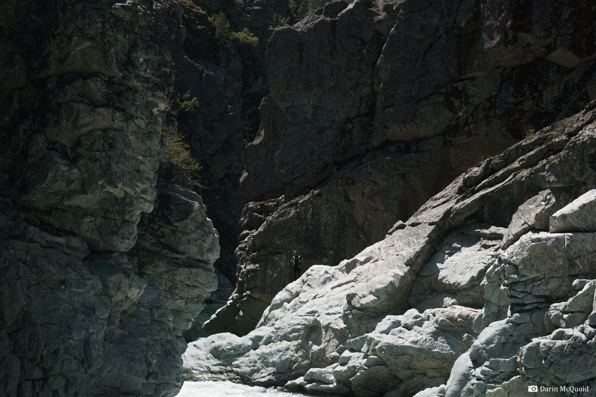
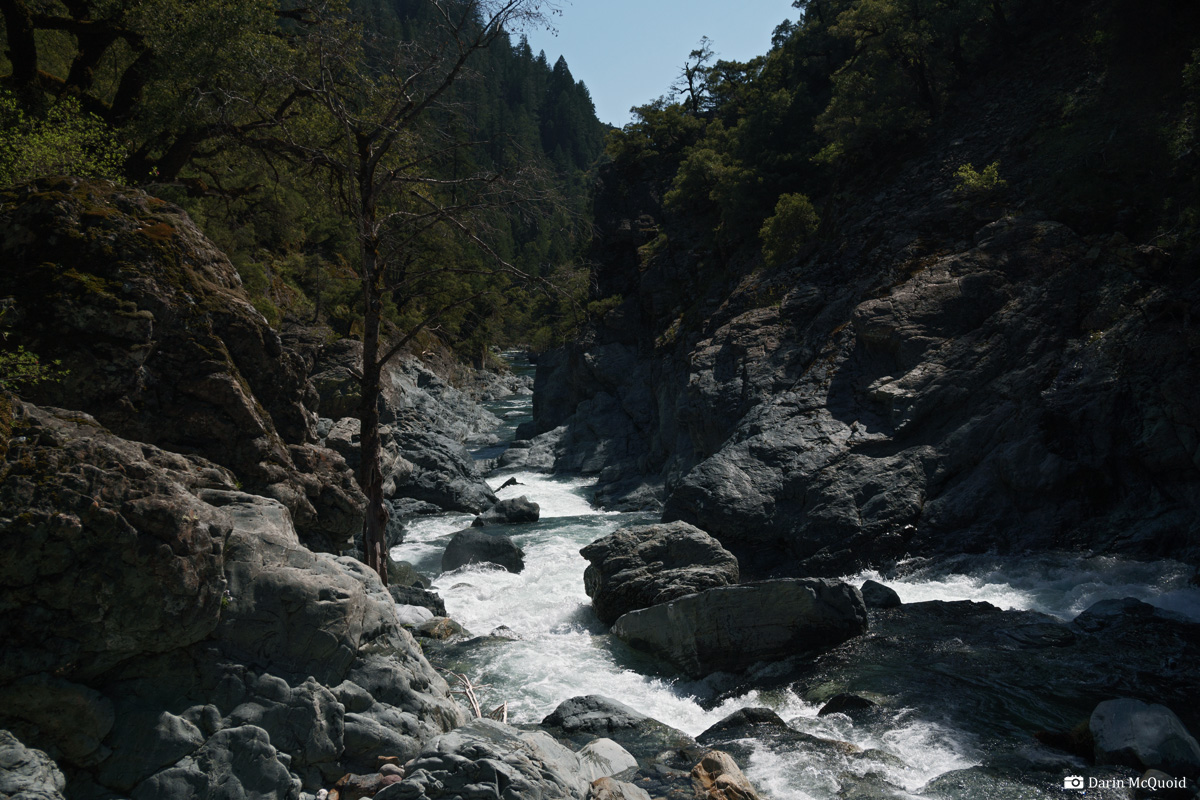
Perhaps
because of the size of the canyon dwarfs the scale of things in here,
we didn't see gorges like this on google earth. Maps also hide what is
happening in here, because much of Canyon Creek is the border between
Yuba and Sierra Counties, resulting in a thick red line that hides
contour marks.
I can't get over the water quality.
Due to the danger factor we're on our toes and scout anything blind.
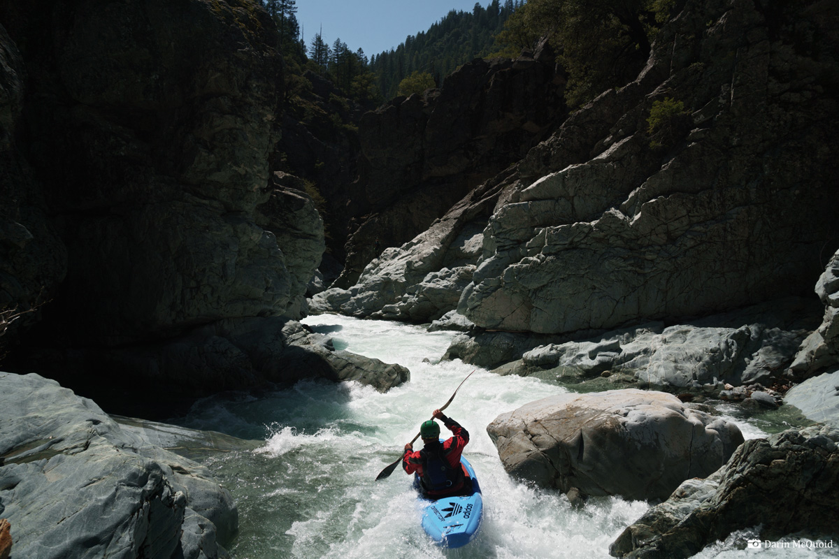
Joseph heads into a typical rapid in this upper section.
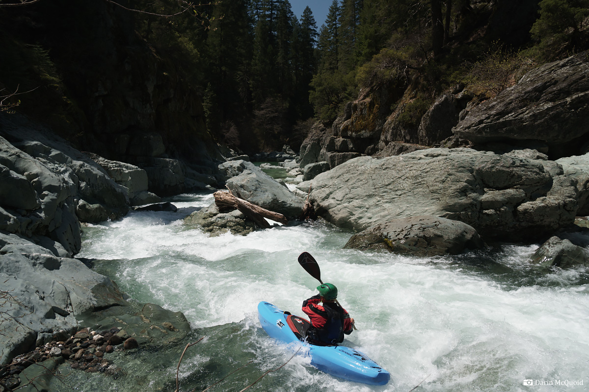
Still can't get over the water quality, fitting for a North Yuba drainage. Gavin in the canyon.
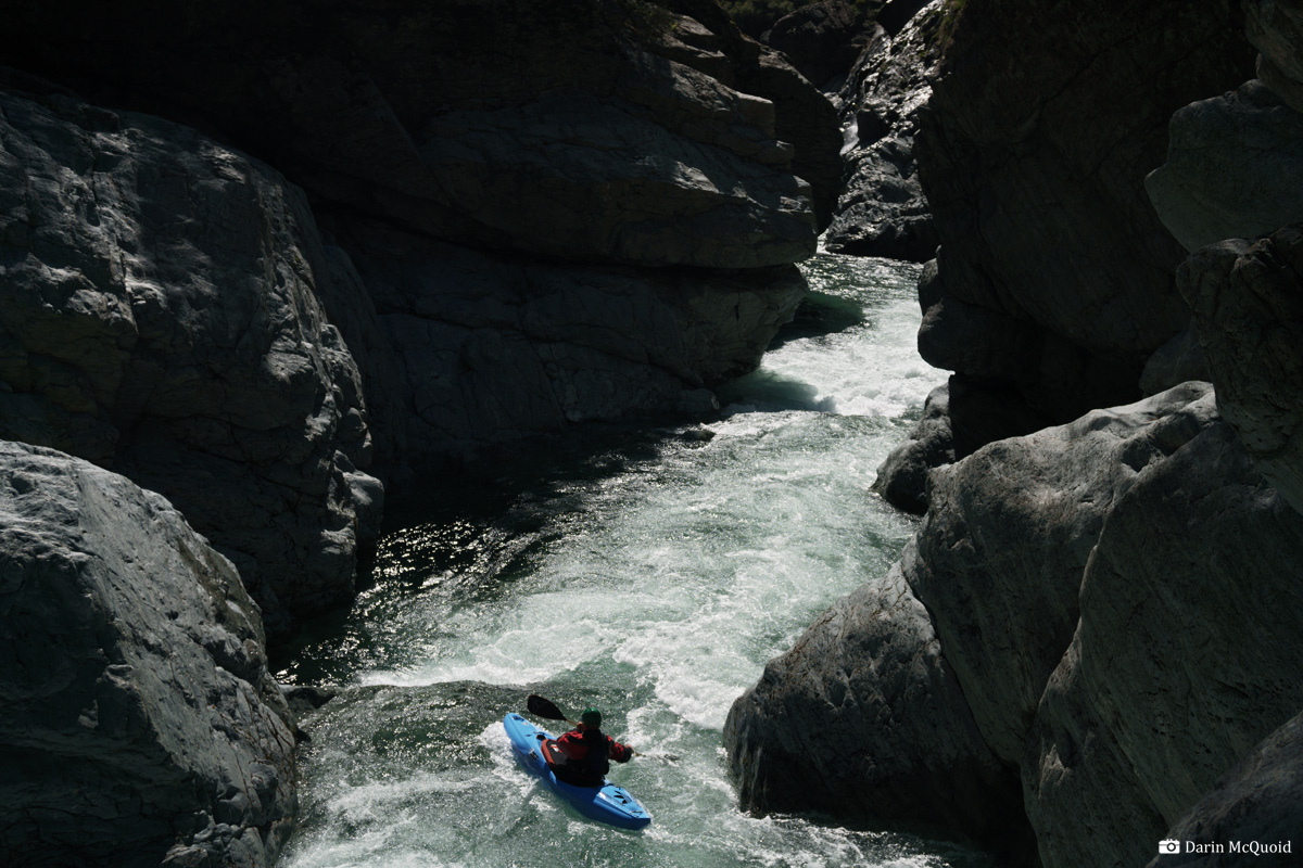
We encounter our first gorge. I'm out on river right, yet can't see downstream. The climbing is out of my comfort zone. I commit to the lead-in, then ferry across to get a downstream view. All I can see is a pool far below, yet not what is between. Given all the sieves we've seen so far, it's not a good idea to just drop in. Gavin pulls out his rock climbing skills and is able to scout the gorge after some extensive climbing and traversing. Thankfully it's good to go, as the portage would have been a challenge.
Gavin runs the lead in.
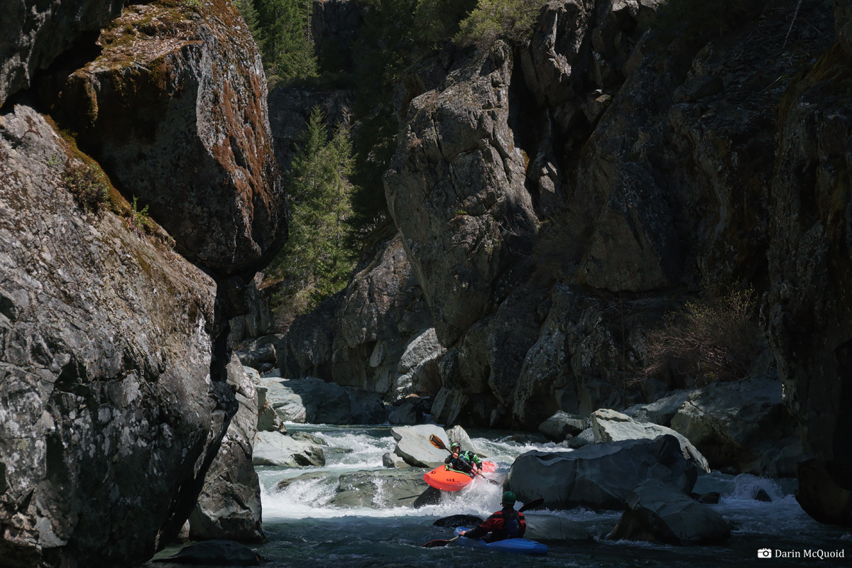
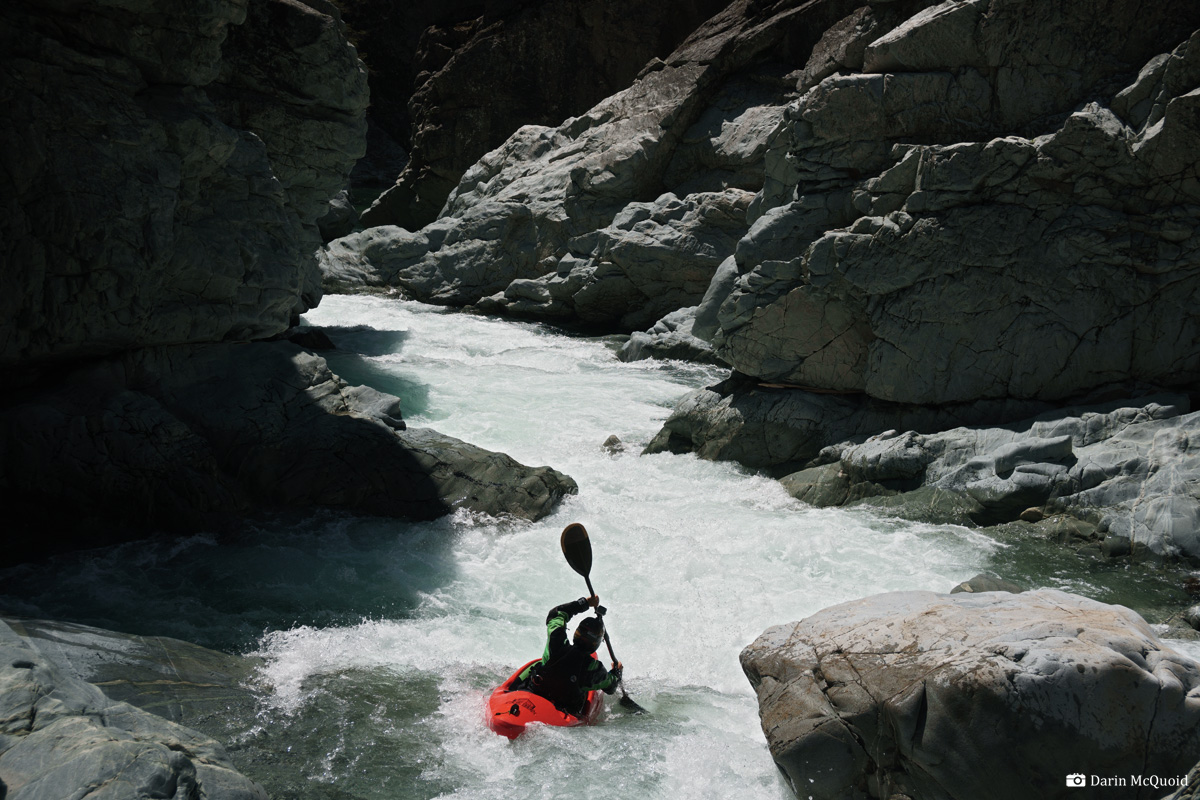
Flows were ideal for this walled in rapid, it could get mighty exciting at higher flows. Joseph heads into the first move.
Gavin on the same.
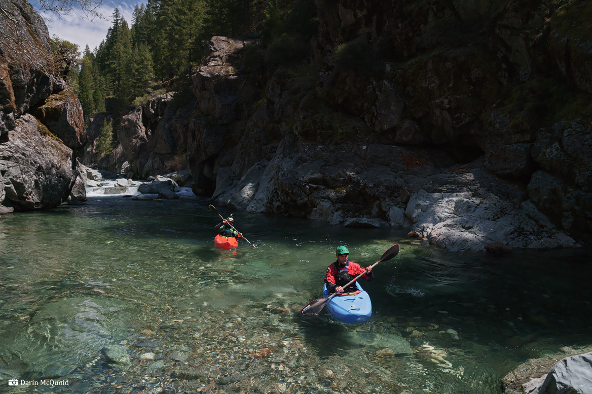
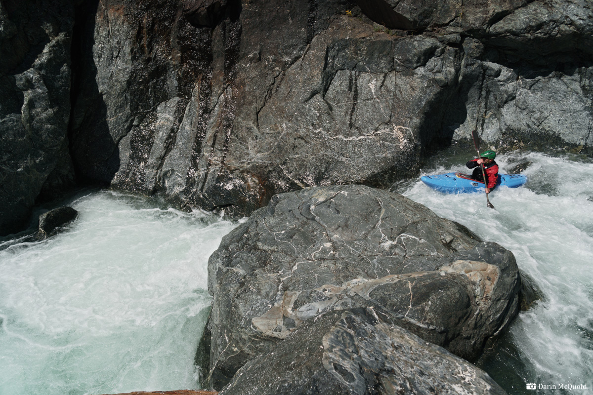
Canyon Creek returns to what seems to be typical character, kind of clean yet kind of not at times, quite blind in general.
A tight move against the wall, followed by the only log we had to duck on the entire run.
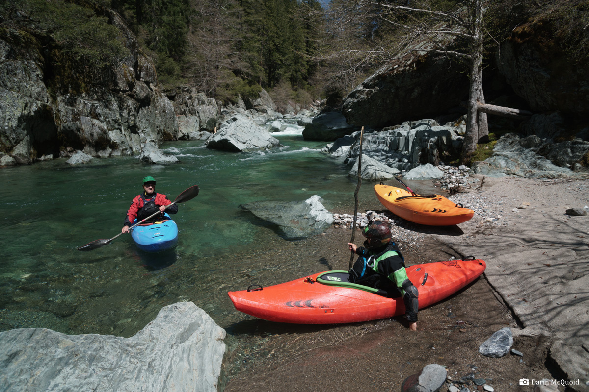
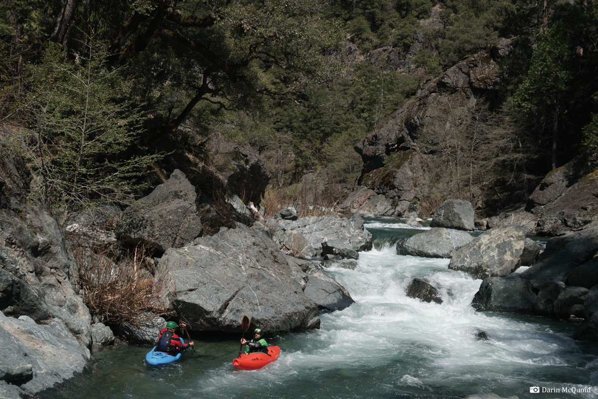
Around 3:30pm we take a scout and break for lunch. Initially we made good time but our pace has slowed down due to lots of scouting and considerable time spent in the first gorge.
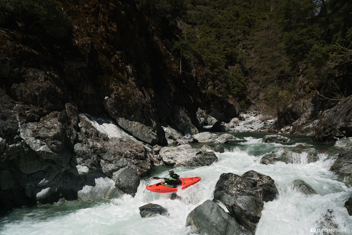
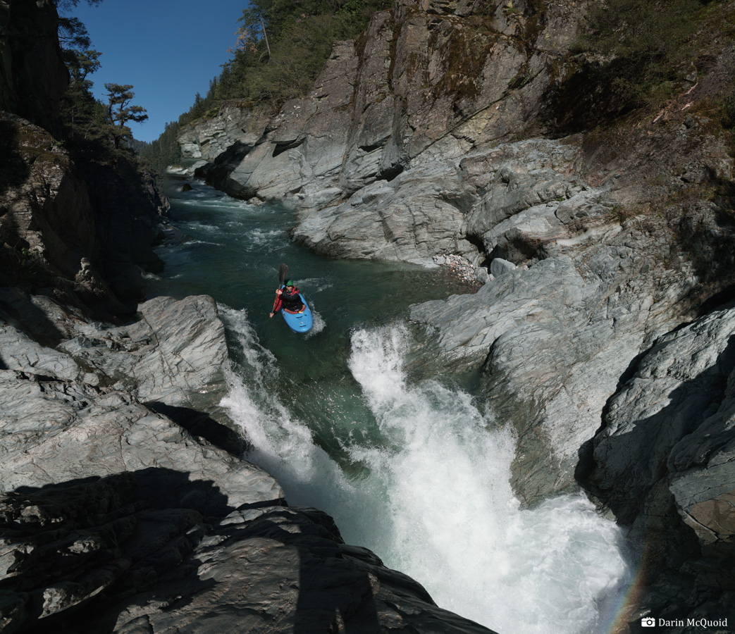
Half an hour of read and run later, I'm out at a significant horizon line in a gorge. Thankfully we do have low flows, as this sliding falls would have a significant hydraulic at high flows, there is a pocket on each side, feeding back into the base of the landing. Thankfully at our flow we'll have plenty of speed to go through without the group even needing to scout. Joseph on one of the finest drops of the day.
The gorge continues. We are having a few moments of being forced to commit to downstream progress in hope that the gorges will be able to be solved at river level. The gradient isn't too steep and the character has been cleaning up all day.
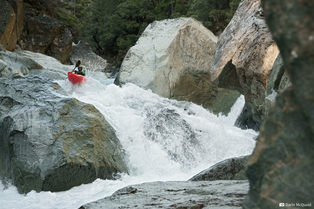
We push hard for an hour, scouting nearly every rapid. This section is steep and the drops seem to be getting taller. We're encountering a common problem on obscure rivers. Instead of mile by mile gradient being accurate, the entire length is just averaged out over the run. Sure it's "around 200fpm" but our gps tells us this mile is over 300fpm. No wonder it feels so steep!
Gavin in a San Joaquin style rapid near the end of the steep section.
A downstream view from the same location. We're all feeling like this is a bit more full on than bargained for.
Paddling
the river starts to feel like a grind, and we push for another hour and
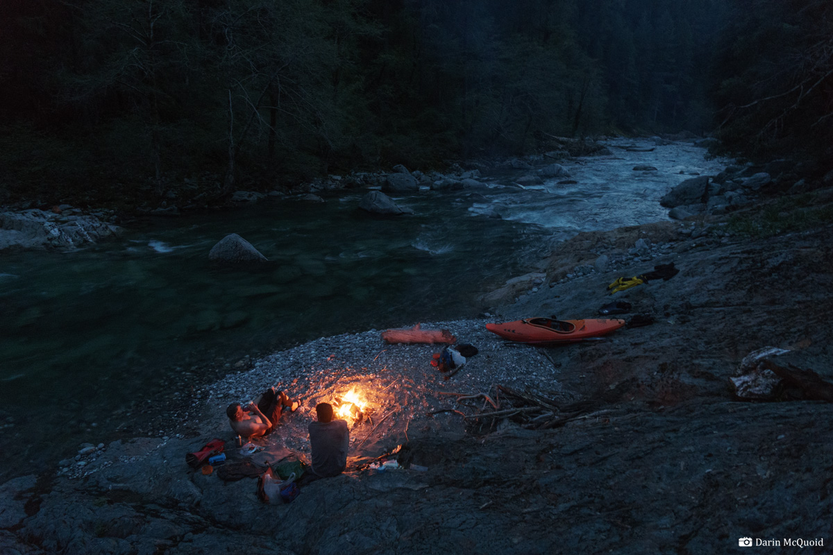
a half to find a good campsite. Eventually we find a nice one that's
not full of brush or mining garbage. Yes, mining garbage. Canyon Creek
has superb water quality and wilderness scenery, coupled with mining
claims everywhere. No problem with that. There are mining camps
everywhere. No problem with that. Every mining camp has garbage and the
cliche blue tarp garbage strewn about. Problem with that. Why does the
culture of mining go hand in hand with litter and refuse in beautiful
places? Despise all that, it's an impressive, deep, beautiful canyon.
Riverside camp, about 2/3 of the way down Canyon Creek. We expected to make it further down today, but who can complain in a place like this?
On to Day Two.
HTML
Comment Box is loading comments...