| Darin McQuoid | Blog | Reviews | Tutorials | River Directory |
Deadwood Creek
North Yuba Tributary
IV-V
North Yuba Tributary
IV-V
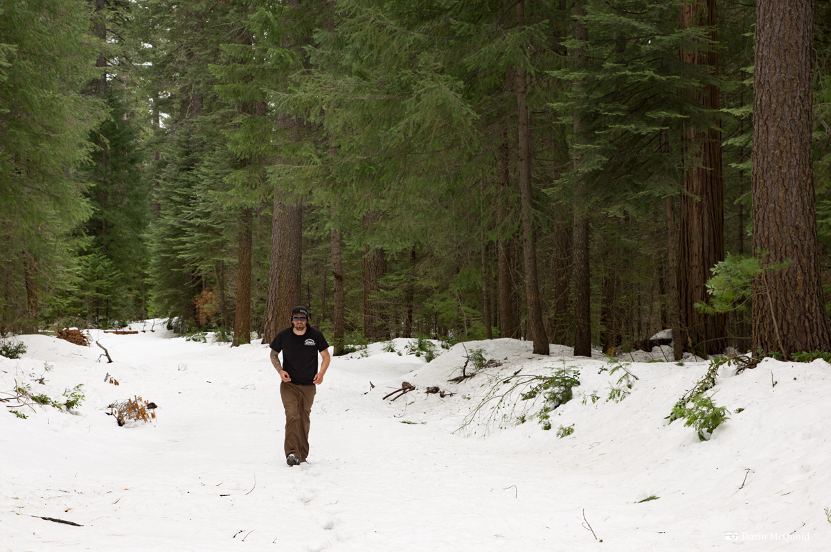
On April 12th, 2012, beta master Cody Howard motivated us on a mission to run a little bit of Deadwood Creek, a north Yuba tributary. For access Cody found a road that drops all the way to the confluence of Slate Creek and the North Yuba. Cody Howard, Will Pruett, Austin Nickell and I meet at Highway 20 and Marysville Road, loading up in Austin's (well really his better half's) lifted 4 Runner. We don't really know what condition the road is in, but since it's not on most maps, it can't be too good! Of course it's early in the year, and we've had a lot of snow. More than we expected. In fact I didn't expect any. Good thing for the big rig.
That's our access road. Thick, heavy spring slush.
Sitting
in the back seat, Will and I get to experience a fun social engagement.
Rightfully so, Austin is worried about getting stuck, yet Cody
relentlessly urges "just a little further".
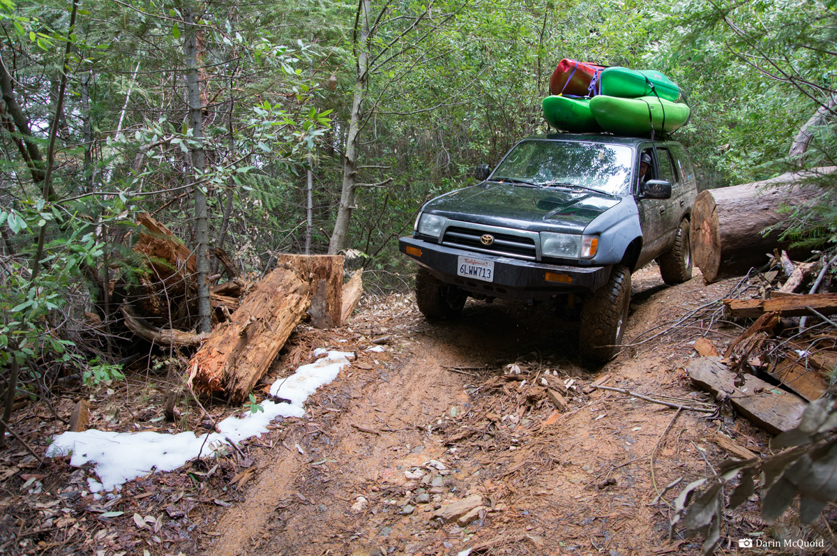
Just
a little further eventually gets us to the bottom of a rough 4x4 road
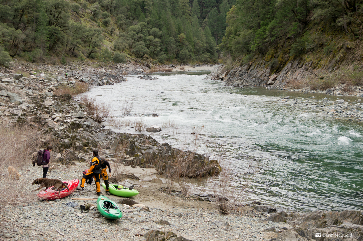
and we put onto the North Yuba and paddle around the corner.
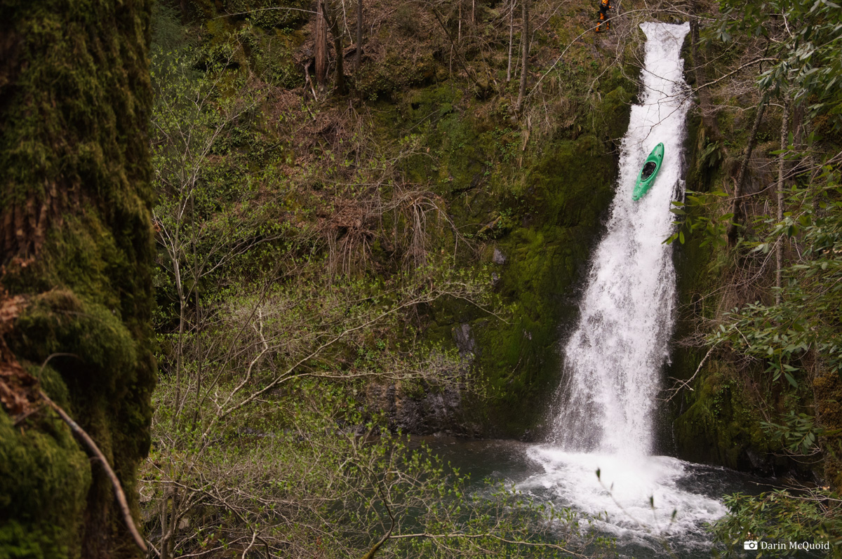
Deadwood
Creek is small, but it only takes a few minutes to hike up the falls.
Flows are certainly on the low end. We decide to hike a little further
up and then ponder the falls after running whatever we can.
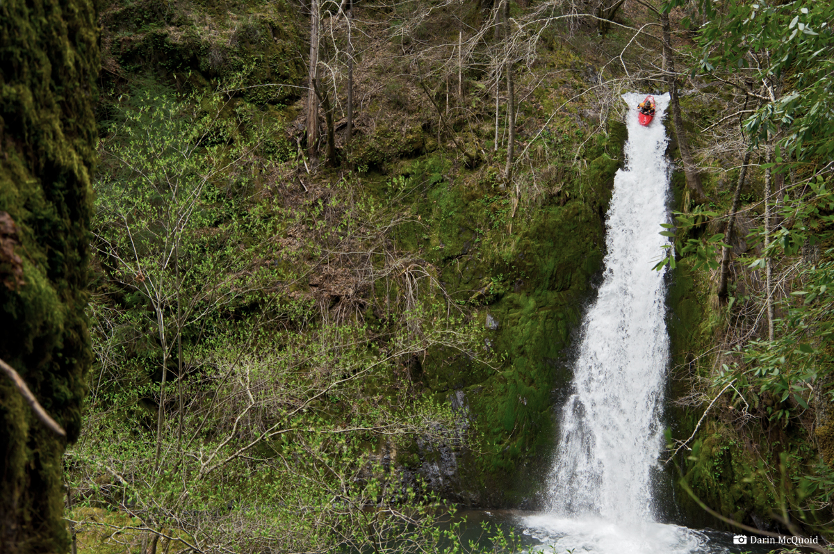
As it turns out there are only two drops before it turns into a wood pile, and it's not easy climbing. The author probes.
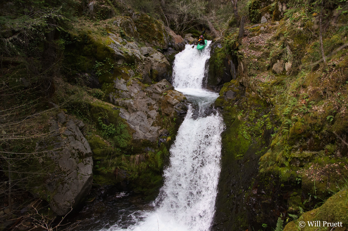
Austin on the second tier.
As it turns out there are only two drops before it turns into a wood pile, and it's not easy climbing. The author probes.
Austin on the second tier.
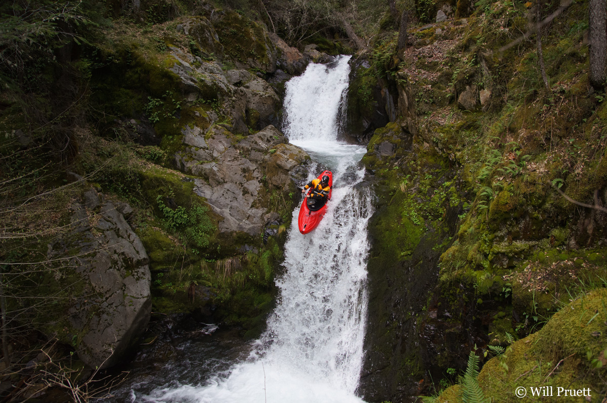
The
falls are taller than I'd expected, and the flows are lower. Too low
for my taste, but I let Austin send my boat over to get a look at how
it might go.
Austin gives it a thumbs up and it goes, well, about like you might expect, best seen in the video.
Austin gives it a thumbs up and it goes, well, about like you might expect, best seen in the video.
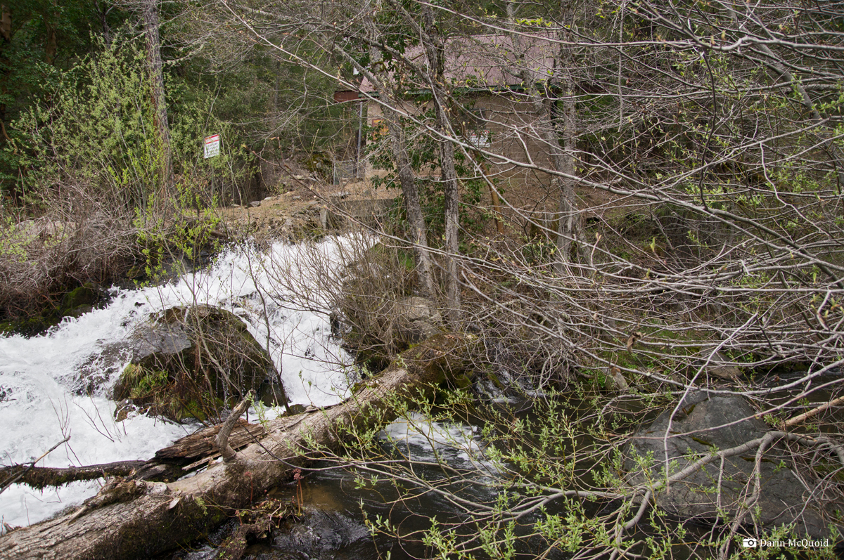
That's why there is no water; micro hydro on Deadwood Creek.
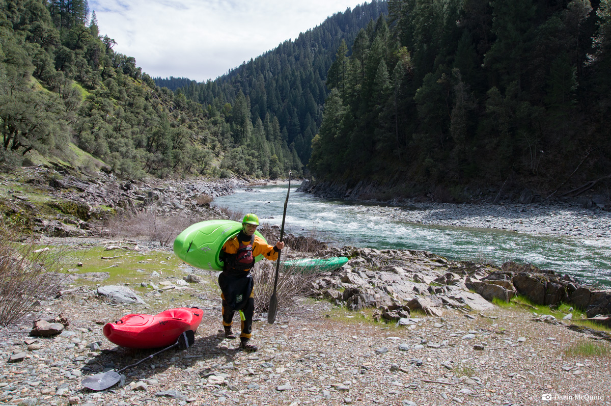
I'd
been worried the portage/attainment back up to Slate Creek might be
tough. Thankfully it was not, you can see the Slate Creek drainage in
the top of this image. Just a short walk and paddle back to the car.