
| Darin McQuoid | Blog | Reviews | Tutorials | River Directory |
Kyrgyzstan
Day Three: The Chong-Kemin (Чоң-Кемин)
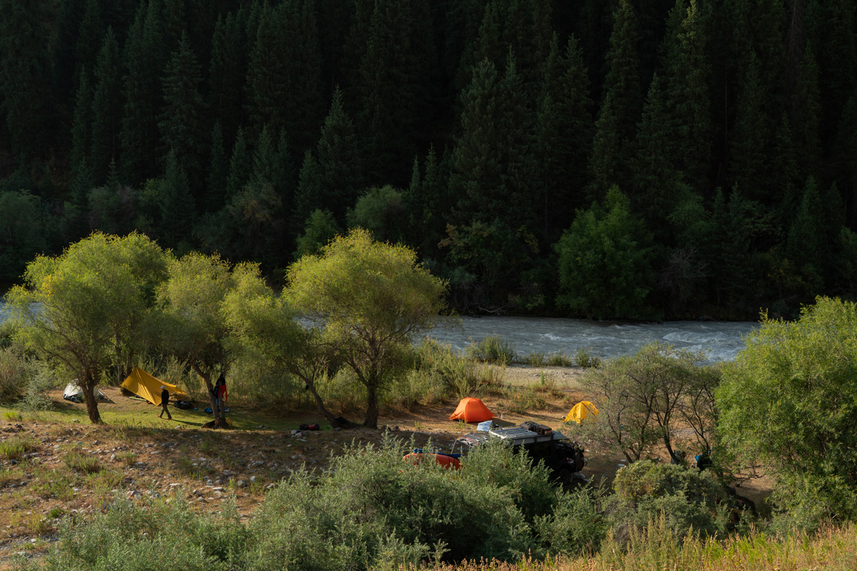
A nice riverside camp on the Chon-Kemin
The
Chu is a dam fed river, mostly grade III and it gives us a chance to
make sure we have everything and brush off some cobwebs. We get in the
flow and don't scout.
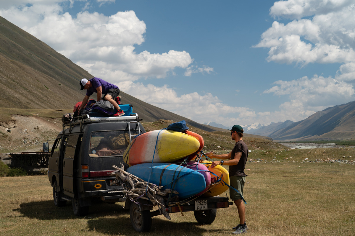
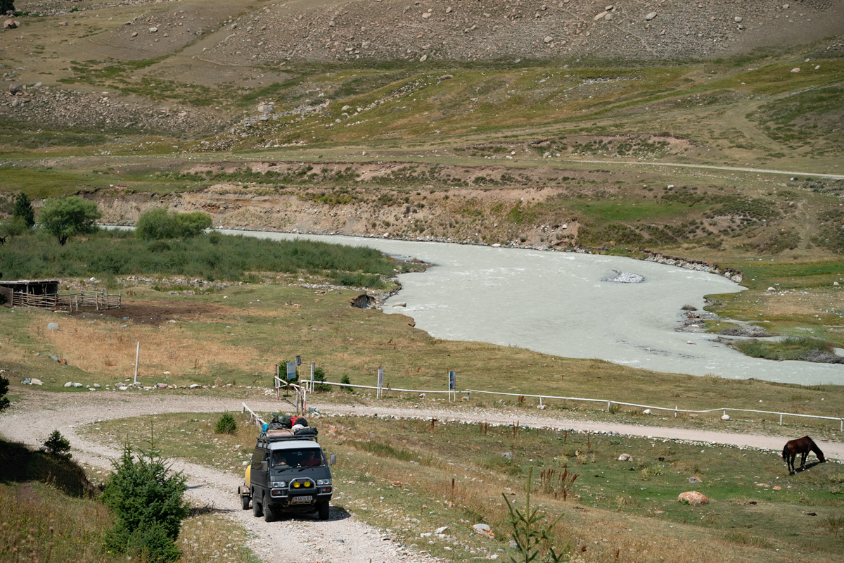
We arrive at put in after quite a bit of driving, arriving at an elevation of 8,100 feet. Google Maps Link to our Put In.
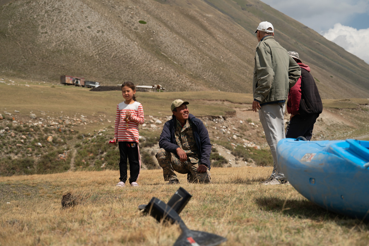
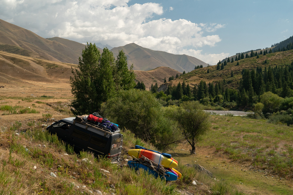
Our congenial driver, Gimitry, chats it up with the locals.
David Lew puts on to the upper Chon-Kemin.
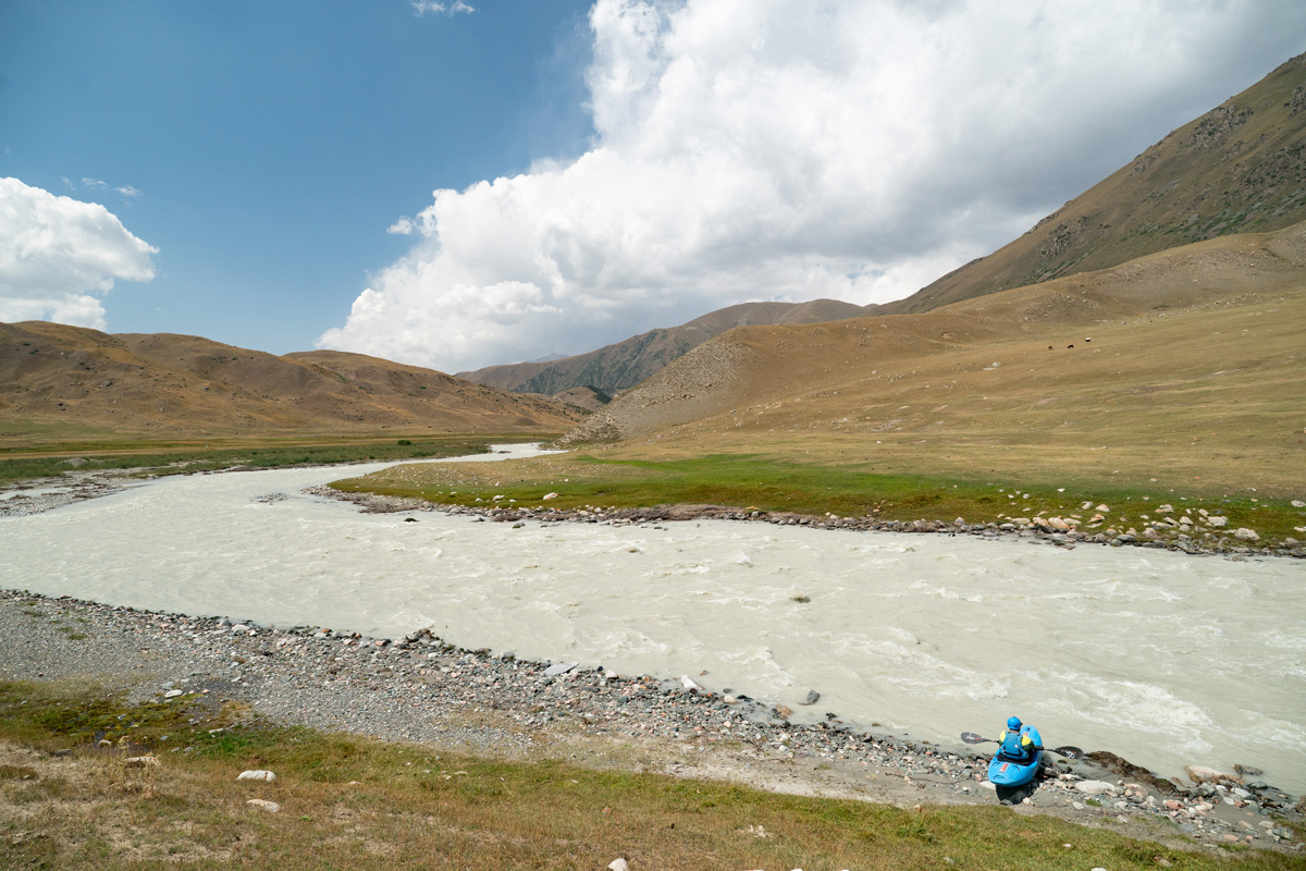
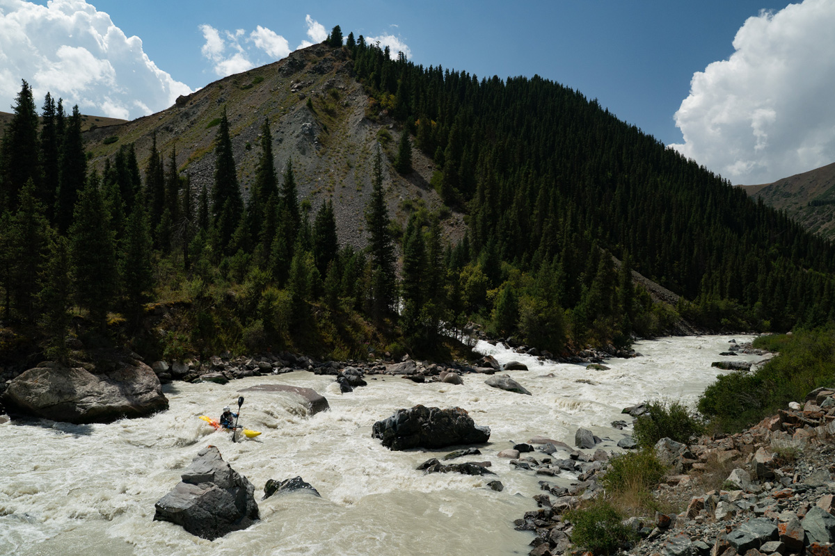
The river is high and current moves fast. Being two weeks earlier than normal, the region also had a larger than normal snowpack, so the river is very high. In no time we're into a steeper section and hop out for a quick scout.
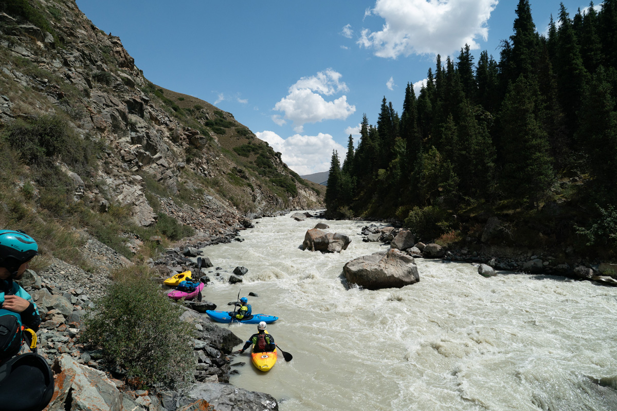
Rok, David and Egor get in their kayaks while MIchal and I get ready to capture media.
Egor Voskoboynikov makes the entrance move to the long rapid.
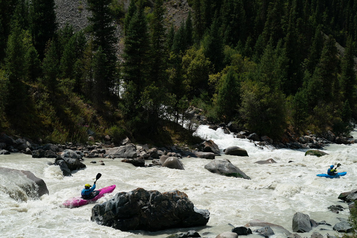
Rok Sribar and David Lew in the middle section of the same rapid as a significant tributary pours in.
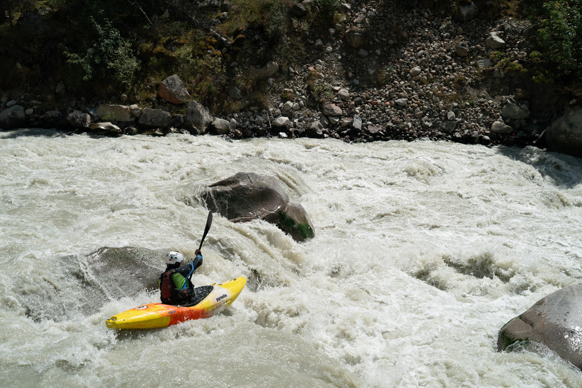
Egor Voskoboynikov mid rapid and probably a little too busy to enjoy the wonderful scenery.
On to Day four, the Middle Chong-Kemin (Чоң-Кемин)
Day Three: The Chong-Kemin (Чоң-Кемин)
A nice riverside camp on the Chon-Kemin
There
is nothing like waking up next to the river, hearing the water flow by.
And flow by it is, the Chon-Kemin is flowing high and fast. It's almost
like watching a river on fast forward. We enjoy a leisurely morning
then pack up and head further up river.
Steeper than it looks, this loose cobble "road" showed how impressive the Delica can be in tough conditions as it climbed up with ease.
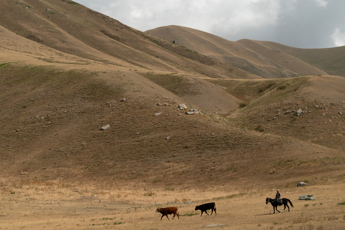
Typical sight in Kyrgyzstan, a local herder moving some stock around.
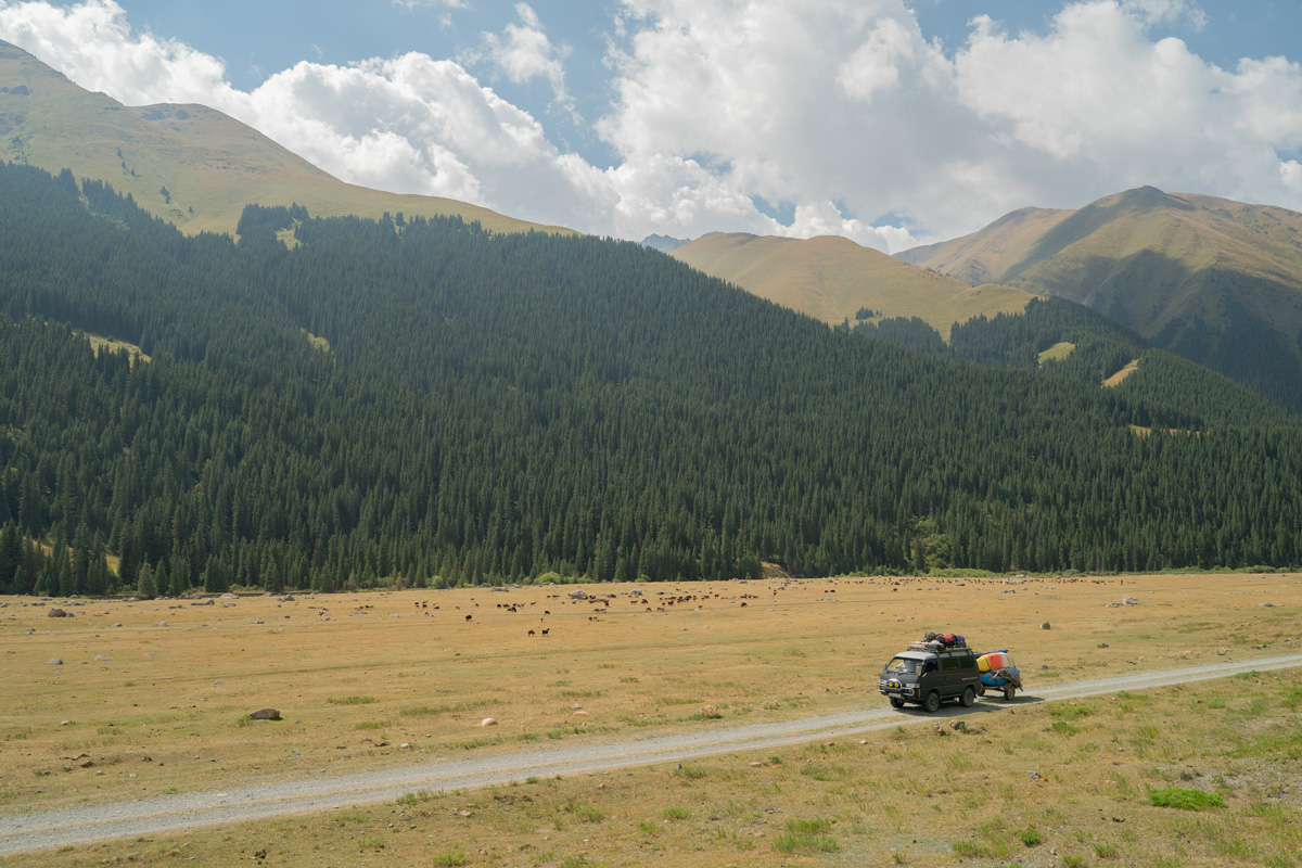
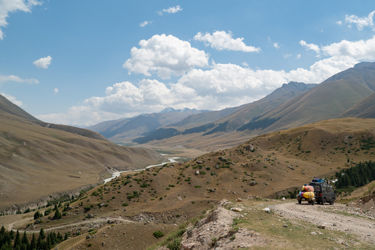
Foothills transition into mountains as we climb up the river valley.
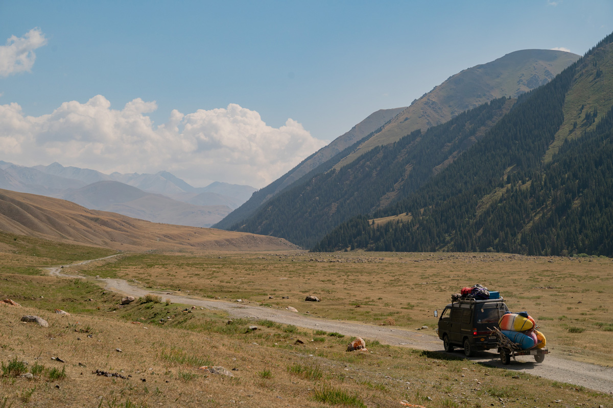
Higher than it looks, we're around 7,000' in elevation and the mountains are in the 10-13k range.
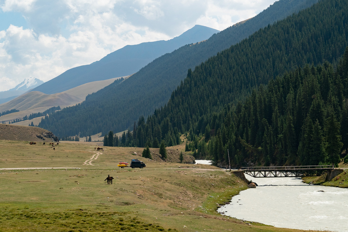
The Chon-Kemin is full to the seasonal high water line, which is saying a lot for a glacier river.
Looking downstream from the bridge.
What a view.
Steeper than it looks, this loose cobble "road" showed how impressive the Delica can be in tough conditions as it climbed up with ease.
Typical sight in Kyrgyzstan, a local herder moving some stock around.
Foothills transition into mountains as we climb up the river valley.
Higher than it looks, we're around 7,000' in elevation and the mountains are in the 10-13k range.
The Chon-Kemin is full to the seasonal high water line, which is saying a lot for a glacier river.
Looking downstream from the bridge.
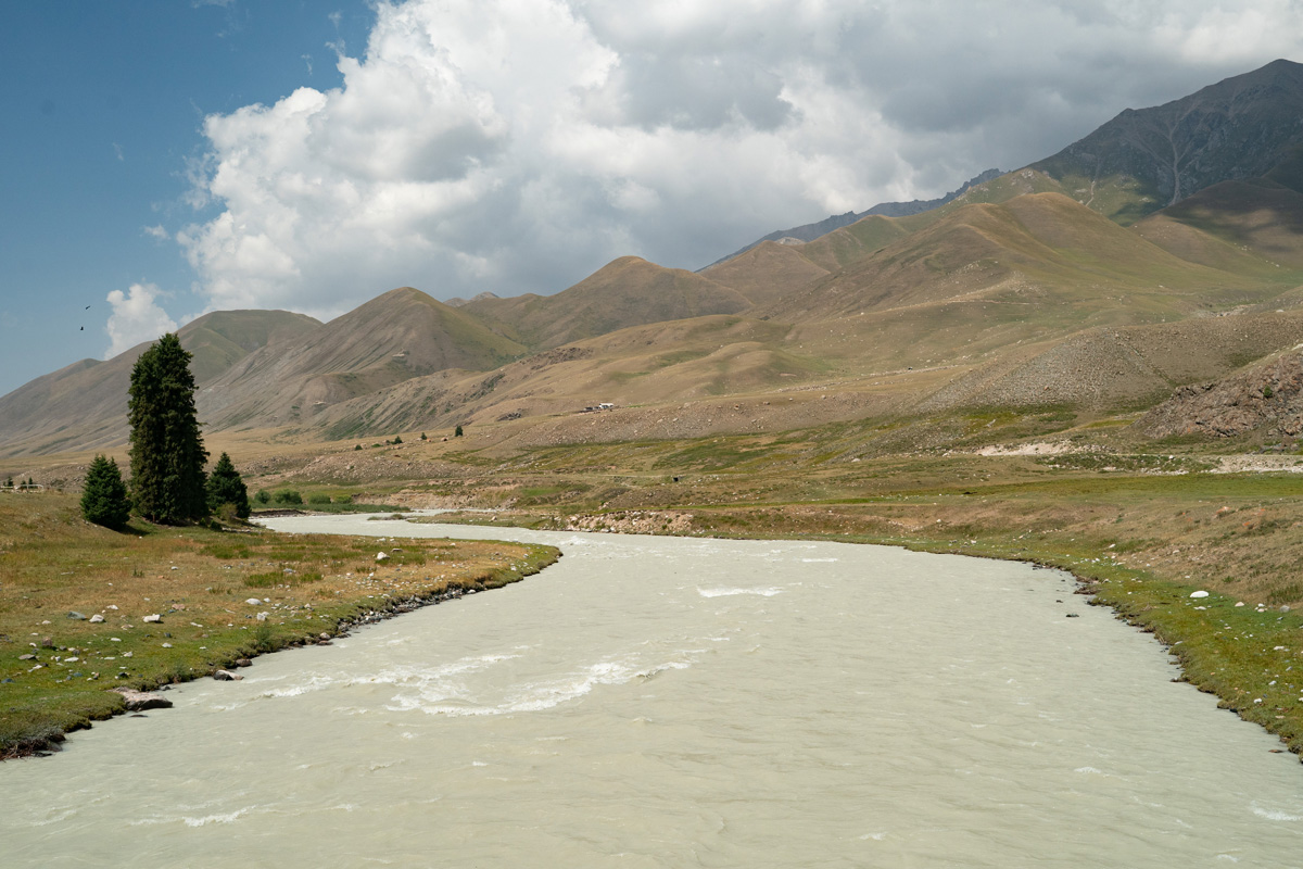
There is a small fee to pass into Ile-Alatau National Park, and we climb up a steep grade to a saddle with views.
What a view.
We arrive at put in after quite a bit of driving, arriving at an elevation of 8,100 feet. Google Maps Link to our Put In.
Our congenial driver, Gimitry, chats it up with the locals.
David Lew puts on to the upper Chon-Kemin.
The river is high and current moves fast. Being two weeks earlier than normal, the region also had a larger than normal snowpack, so the river is very high. In no time we're into a steeper section and hop out for a quick scout.
Rok, David and Egor get in their kayaks while MIchal and I get ready to capture media.
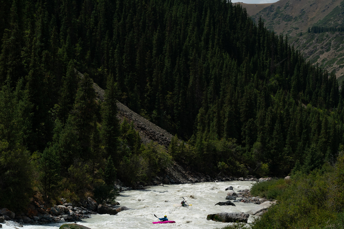
Egor Voskoboynikov makes the entrance move to the long rapid.
Rok Sribar and David Lew in the middle section of the same rapid as a significant tributary pours in.
Egor Voskoboynikov mid rapid and probably a little too busy to enjoy the wonderful scenery.
The
run out is non stop for a few kilomoters, then the river mellows out to
II-III for some time, and we pass under the bridge we crossed on the
way up. Eventually it gets steep again, and we run some of the largest
whitewater of the day, but no pictures because we didn't scout. After
about 20km total, we eddy out and decide to make camp, and we'll start
right where we left off tomorrow. Light rain comes in, traps up and
rain flys on the tents as we hunker down for the night, sleeping a lot
to hopefully recover from jetlag. Google Maps Link to our campsite.
On to Day four, the Middle Chong-Kemin (Чоң-Кемин)