
| Darin McQuoid | Blog | Reviews | Tutorials | River Directory |
Mill
Creek (lower) IV-IV+
Thanks to an unusually large snow pack this spring, we managed to get a late season run in on Mill Creek, with flows of 450cfs at Los Molinos. Mill Creek is a 30 mile class V mostly wilderness run that is listed on both Ca Creeking and in Holbeck & Stanley's Best Whitewater of California. It's a two day run and we were doing it at pretty low flows. I met Jon at his house in Redding the night before and we got a nice early start the next day, with a quick drive to the shuttle, part of which is 20 miles on a dirt road...ugh. As a highlight of the shuttle drive, we did see a bear that ran down the road for quite a ways, and took off once Jon managed to find his camera.We got an unusually early start and got on the river about 11:00, and started off with a nice brisk pace, stopping only to pick up random gear other campers and kayakers had lost, and adjusting to paddling a loaded boat.
Thanks
to the low flows we were able
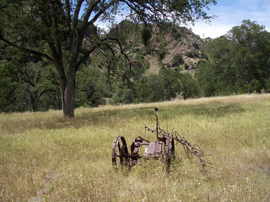
to boat scout everything and after several miles made a scenic stop at
a cable car crossing.
The crossing seems to service a cabin that seems to be inhabited and way, way off the grid.
There
is also some cool antique
farming equipment.
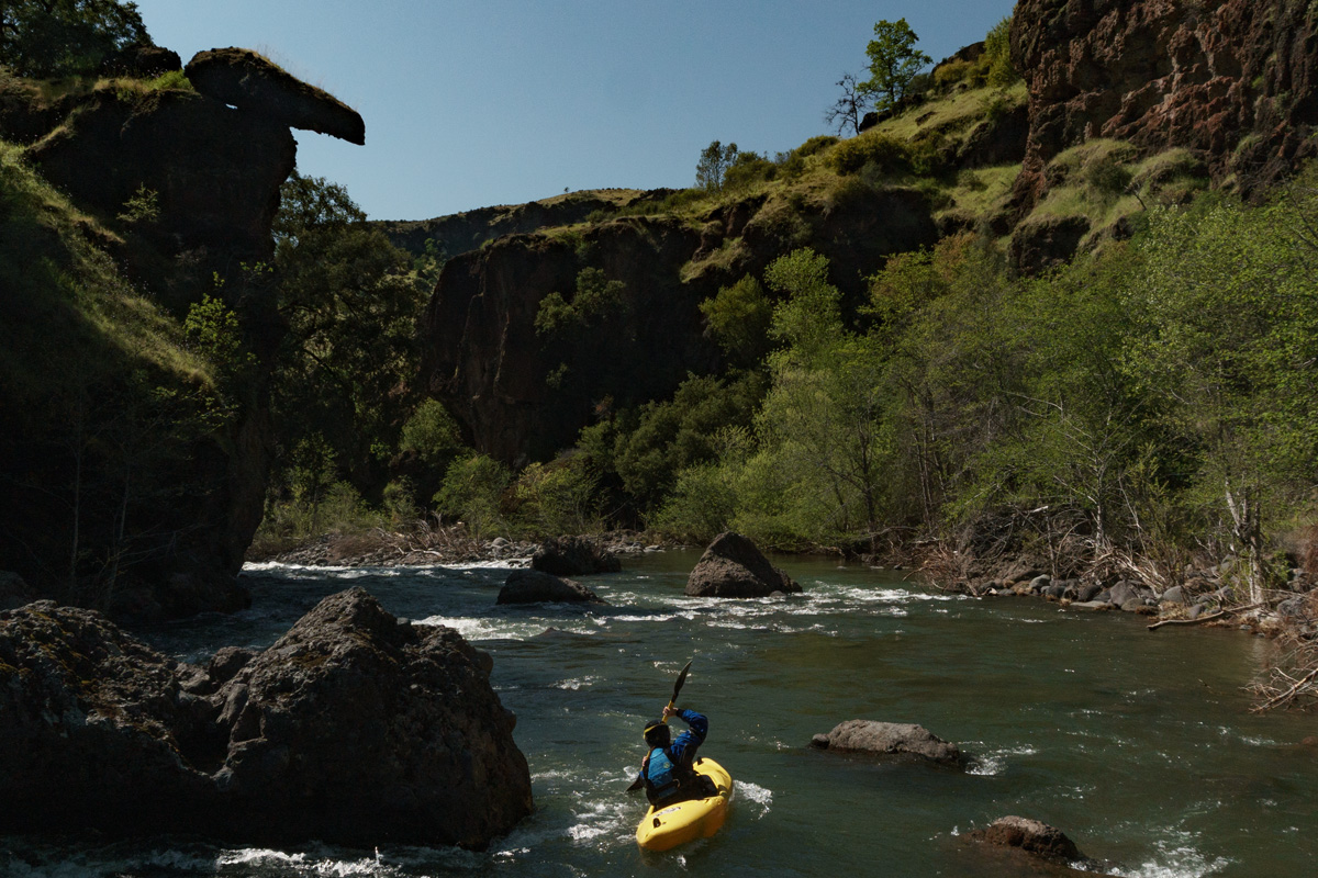
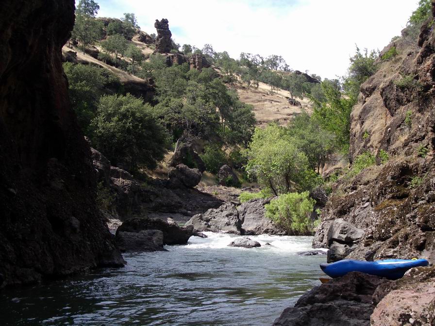
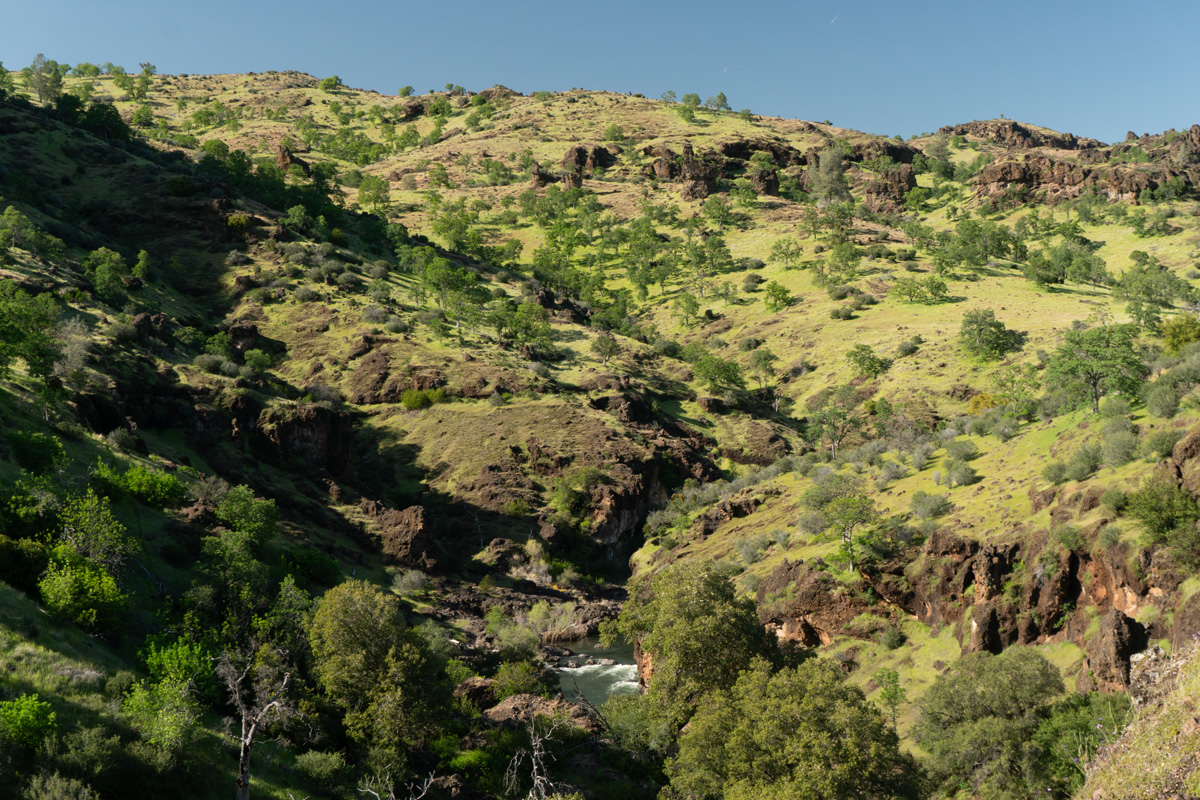
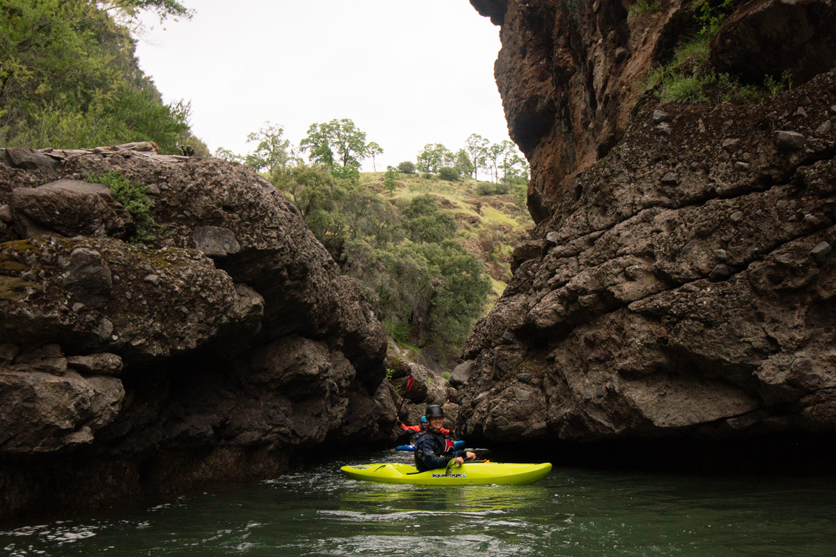
I'm not a huge high desert fan, but the scenery on this run was beautiful and has caves all over in the hills.
Scenery early on in the run, Colby Elliot.
Looking downstream at a nice overhanging rock, Shannamar Dewey.
Jonas Grunwald on a second trip years later.
Same rapid at a later date, Jacob Cruiser.
Great scenery.
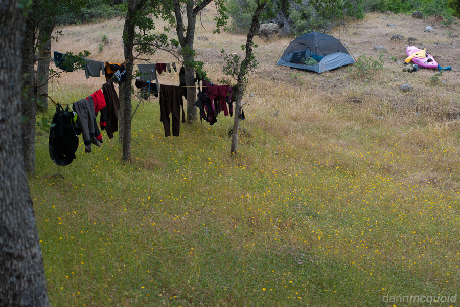
Camping earlier on our second run.
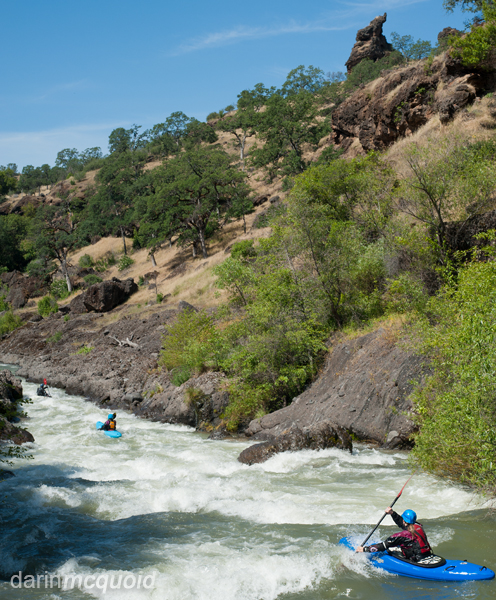
Out of camp the run is fun and entertaining. Shannamar Dewey
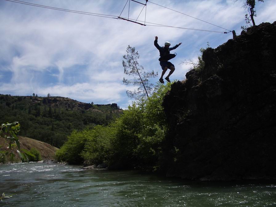
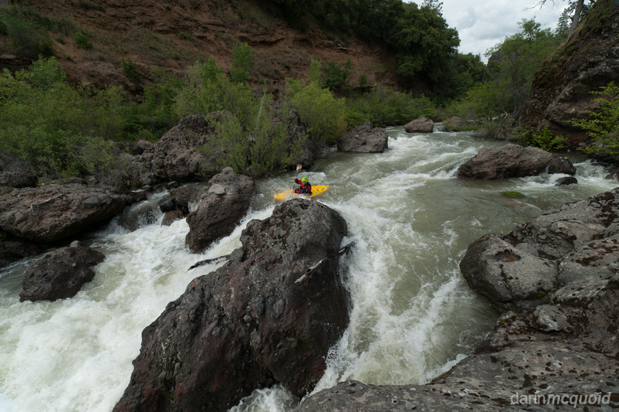
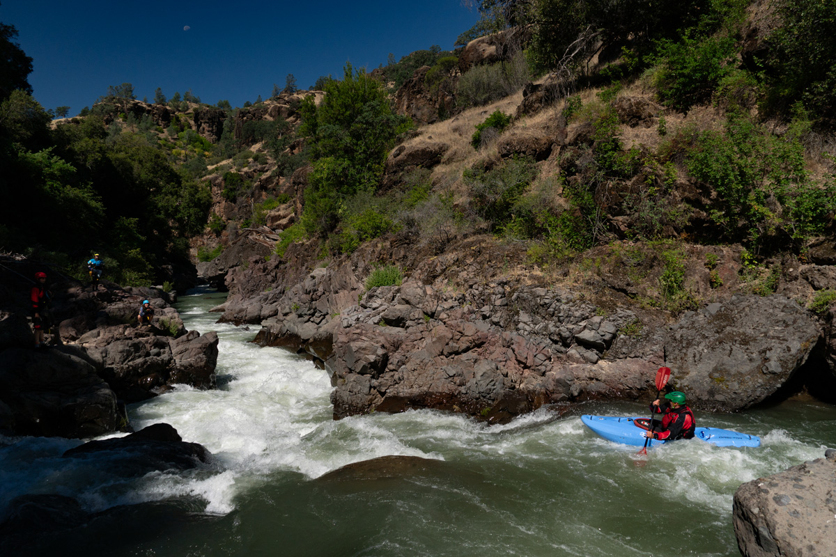
Joseph Hatcher runs one of the crux rapids in 2019.
I believe we were right above "Deep Gorge" at this point, as this rapid was just beyond where we relaxed and snacked. I gave Jon hand signals and he ran this one, probably wishing he had scouted due to my poor signals.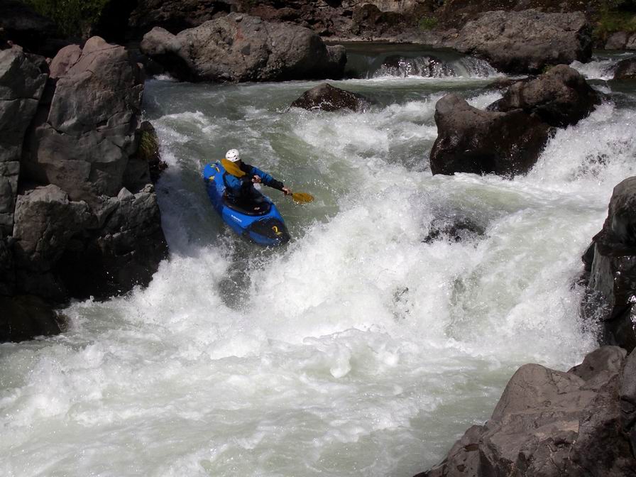
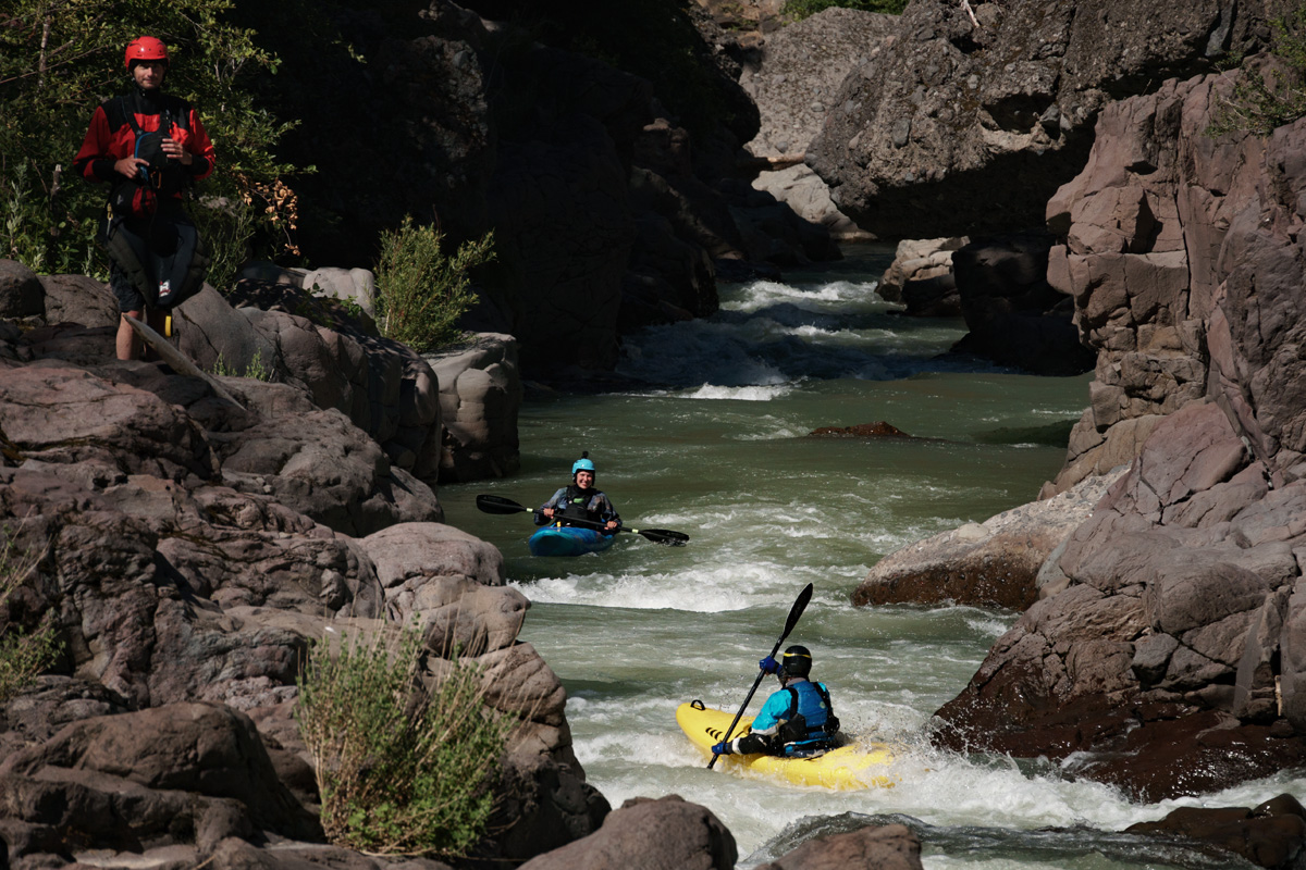
Shannamar Dewey and Priscilla Macy-Cruser looking downstream into "Deep Gorge"
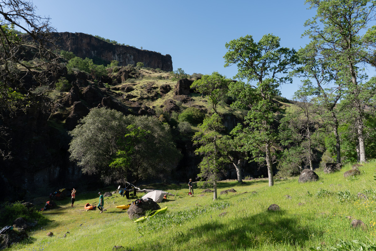
My favorite campsite on the run, 2019, if you go early in the season it's a vibrant green.
Looking upstream from camp.
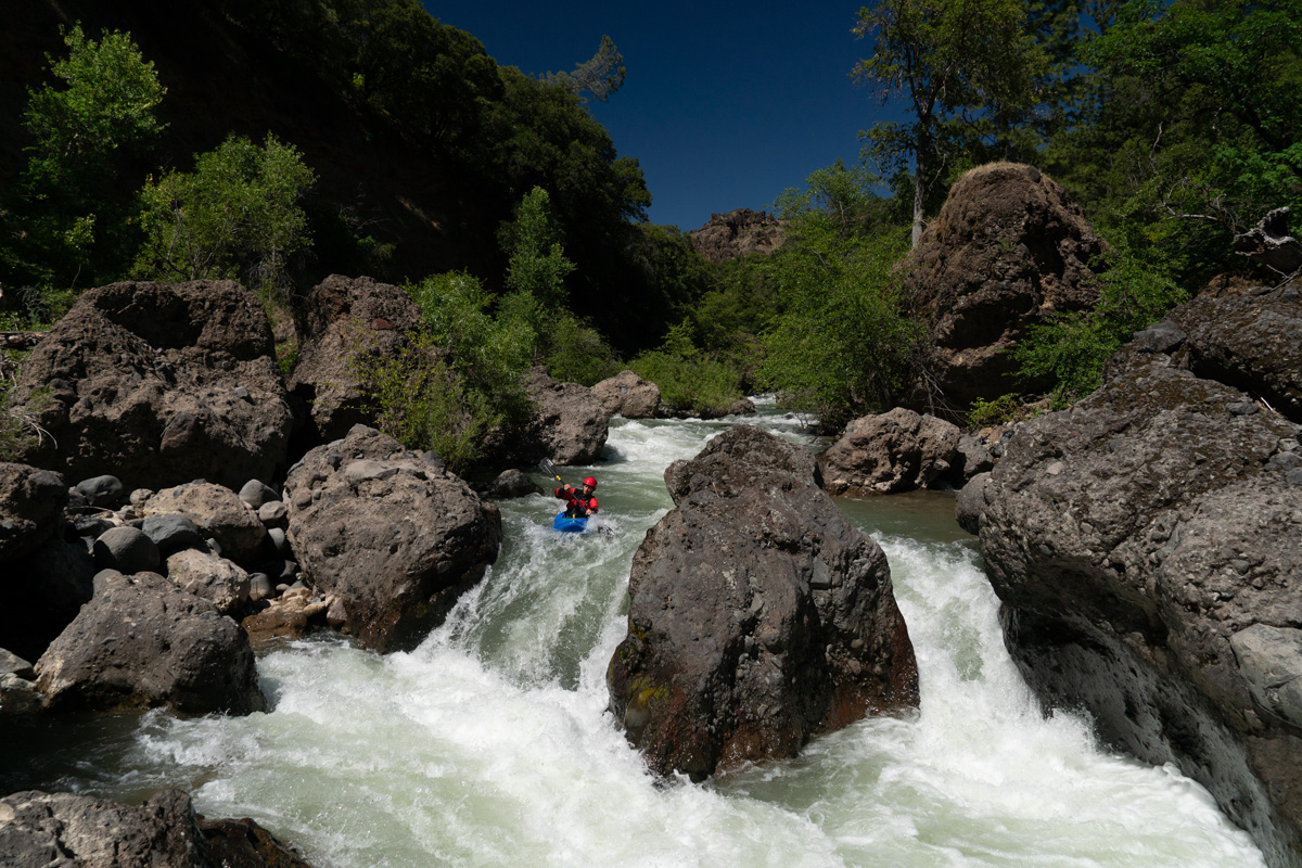
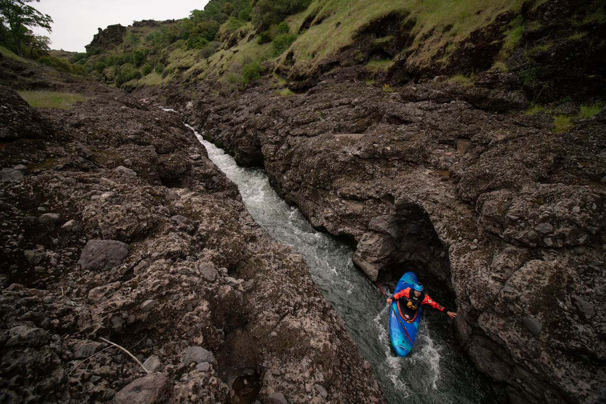
Dan Sadowski exits one of the narrows.
Colby Elliot in another of the narrows.
I'm not a huge high desert fan, but the scenery on this run was beautiful and has caves all over in the hills.
Scenery early on in the run, Colby Elliot.
Looking downstream at a nice overhanging rock, Shannamar Dewey.
Jonas Grunwald on a second trip years later.
Same rapid at a later date, Jacob Cruiser.
Great scenery.
Camping earlier on our second run.
Out of camp the run is fun and entertaining. Shannamar Dewey
About
this point I was
starting to get really thirsty, having only brought a bottle filter for
getting water. Mill Creek is volcanic and has a lot of silt in it, with
a color similar to the Klamath, something I wasn't interested in
putting my filter through the rigors of, so I started looking for side
streams. The next several miles went fast, and Jon and I decided to
camp at the next flat spot that had water. We eventually got out to
check out some caves and relax and make a new game plan, as we were
many miles into the run, it was 5:30 and there were no side creeks
coming in at all.
Joseph Hatcher runs one of the crux rapids in 2019.
I believe we were right above "Deep Gorge" at this point, as this rapid was just beyond where we relaxed and snacked. I gave Jon hand signals and he ran this one, probably wishing he had scouted due to my poor signals.
Shannamar Dewey and Priscilla Macy-Cruser looking downstream into "Deep Gorge"
My favorite campsite on the run, 2019, if you go early in the season it's a vibrant green.
Looking upstream from camp.
Dan Sadowski exits one of the narrows.
Colby Elliot in another of the narrows.
We
decided to camp at the
next creek or paddle all 30 miles, whichever came first. Another long
stretch of river and we came to the portage, Dead Man's Narrows. At
this point we weren't sure how far along the run we were, and missed
the long but safe portage on river left, so we ran the entrance and
eddied out for the somewhat sketchy river right portage. The final
launch from this portage shoves you towards a undercut a lot harder
then it looks like.
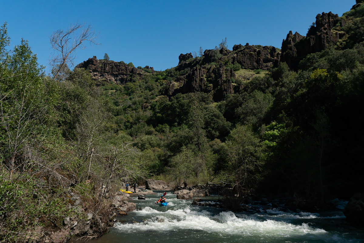
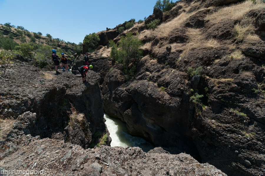
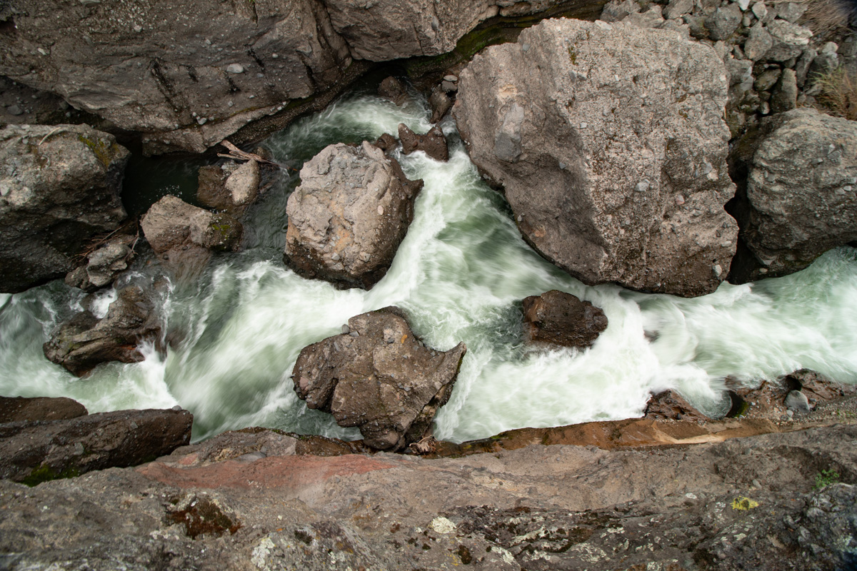
The portage is around mile 23, with a few drops and many very narrow spots after it. Beware of one longer rapid with a pin spot in the middle, in the top of this image.
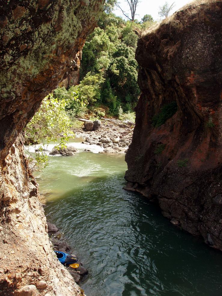
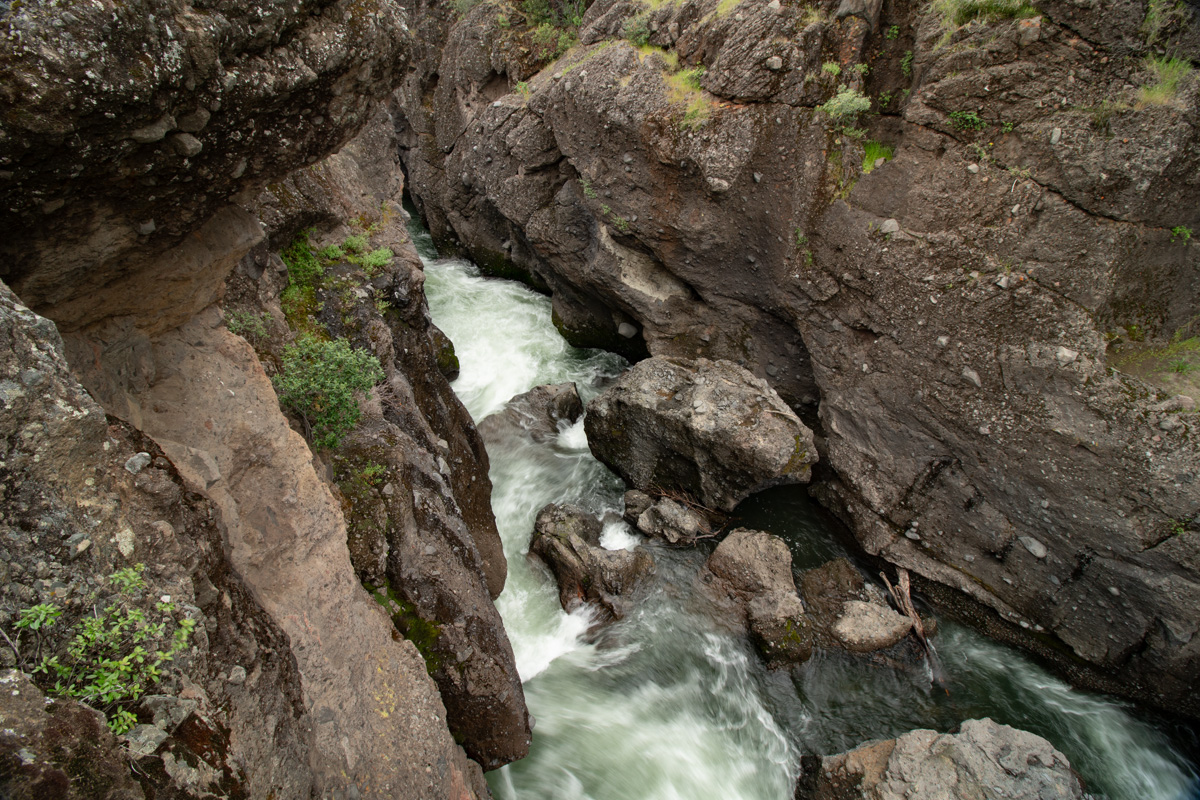
Looking
back upstream at Dead Man's Narrows (undercuts, sieves,
and wood, mmm)
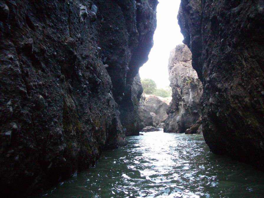
The right spot to get out...

Looking down into the narrows.
The right spot to get out...
Looking down into the narrows.
The portage is around mile 23, with a few drops and many very narrow spots after it. Beware of one longer rapid with a pin spot in the middle, in the top of this image.
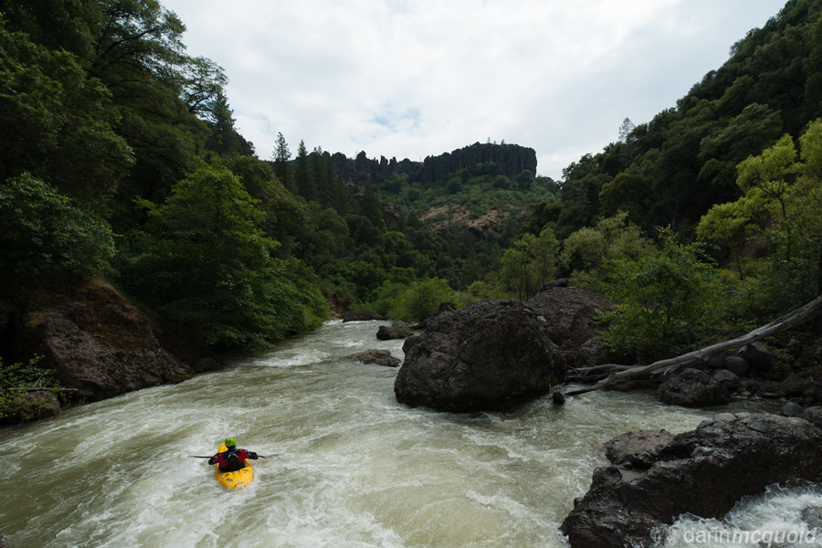
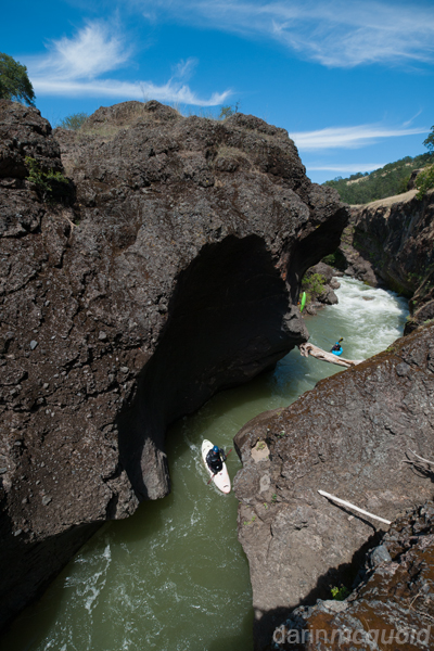
Daniel
Brasuell enjoying some incredible canyons.
The surprise ledge at mile 25 gave me a
really good surprise. By this point I was tired and feeling lazy
(excuses) and I thought it was boat scout able on river right. Somehow
I
assumed the right wall against the bank would not be undercut (unlike
every other rapid on this run) and that there would be an eddy on river
right. Unfortunately the eddy did not exist, and the right side had
fast
moving water that pushed into an undercut rock in the right 1/3 of the
river, and rebounded into the undercut bank. I debated swimming on the
way in thinking I might have a better chance of flushing, but decided
to stay in my boat...and went right through and came out upright with a
small bruise on my elbow, and a huge grin of relief on my face. If I
had scouted it I would have never run that side. Post scare the river
mellowed out and at low flows we found all the low head dams to be
runnable, and boogied on down to the takeout at 9:00pm, followed by a
long drive back to the put-in. We
arrived at Ponderosa Road crossing
around 11:30 that night.
Mill
Creek is high on my list of things to do again, but the generally short
flow window and long dirt roads have kept me away. If you do manage to
get it, the experience is worth the effort. Daniel
has the best detailed beta at A Wet
State .
HTML
Comment Box is loading comments...