
| Darin McQuoid | Blog | Reviews | Tutorials | River Directory |
Teesta:
Five
Time to move down river a bit. Below our current town was construction on a dam. Access to the river was not a possibility. So we drive down to the next access to see what we can get into.
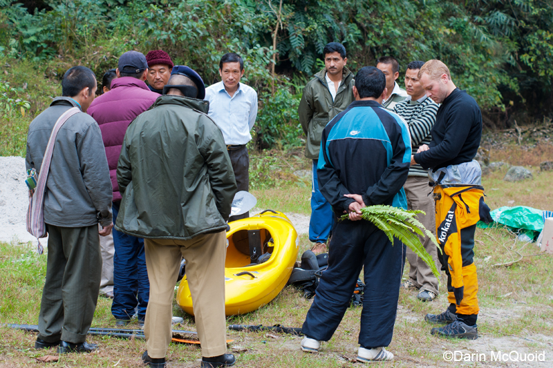
We
are not alone at the put-in
for too long.
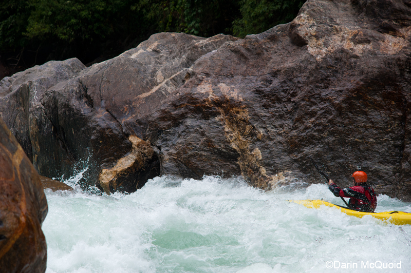
Right out the door it was rapidly apparent that we'd gained volume in here somewhere. It was a real river now. One rapid below put-in and we scout.
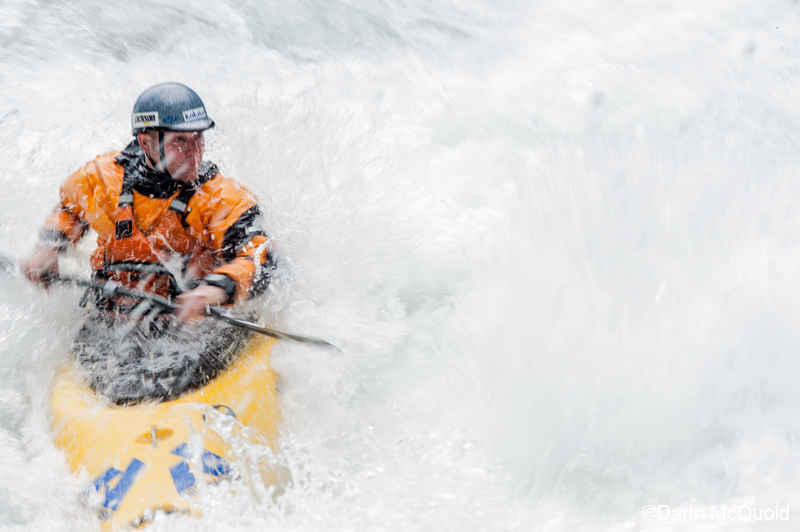
Instead
of capturing the "optimal data" I try for something new with this shot,
a longer exposure and intentional blown out highlights. Jesse Coombs.
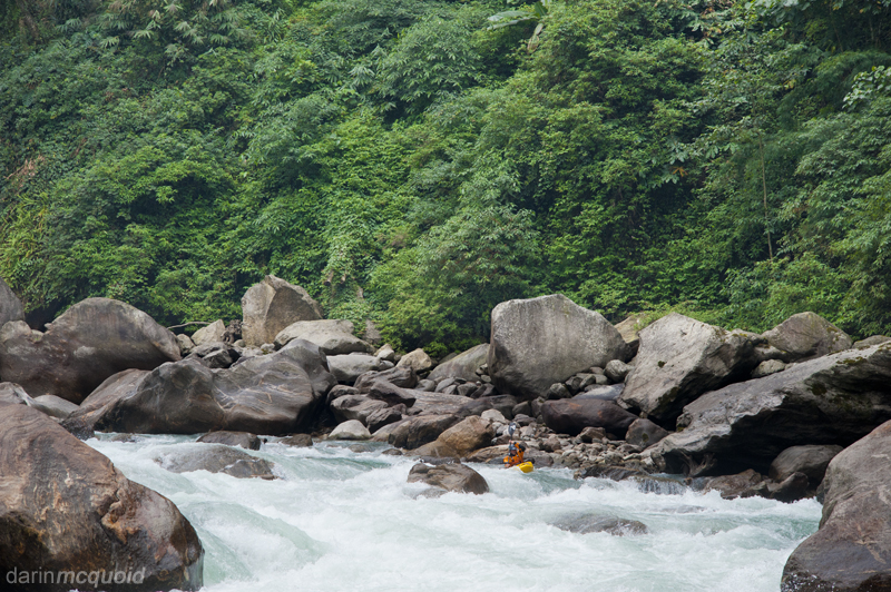
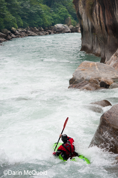
The
river continued with large rapids requiring a scout of each one as they
grew more complex. Jesse Coombs in the mix.
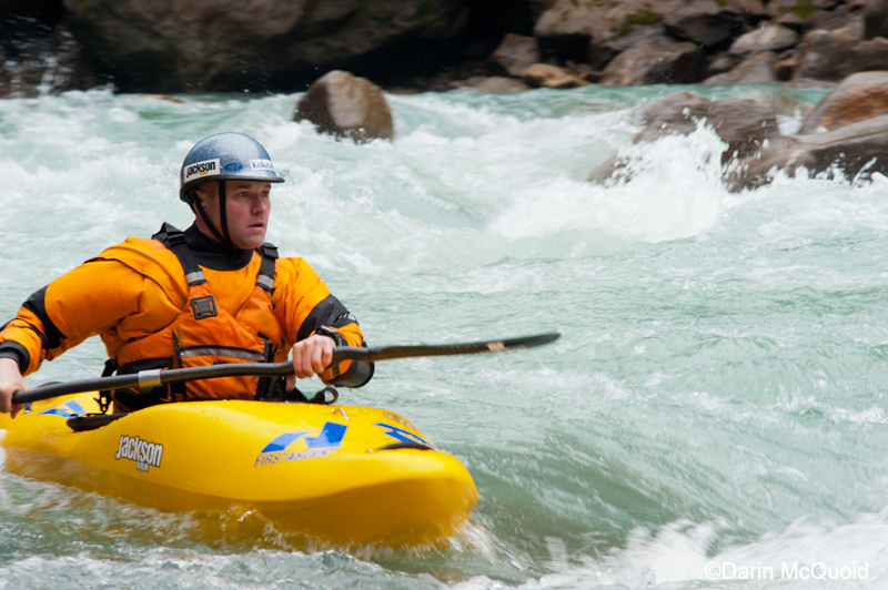
A tight spot just downstream. Water levels feel high.
Oh yeah she is a river now, no doubt about it. No change in weather but it's on the high end.
One more quick scout and then the road drops into view on the left. Jesse gives the last rapid a go.
A tight spot just downstream. Water levels feel high.
Oh yeah she is a river now, no doubt about it. No change in weather but it's on the high end.
One more quick scout and then the road drops into view on the left. Jesse gives the last rapid a go.
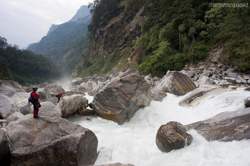
The
road drops near river
level on the left, but the river naturally funnels us right. It's only
just after lunch time. The gradient gets steep downstream. Really
steep. Deliberation station. We all have overnight gear. Getting to
river right requires either a highly dubious ferry above what looks
terrible, or a hike back upstream. Jesse doesn't like the look of the
gradient and canyon and wisely heads upstream to ferry across to the
road. Ever the optimist I ferry across to be followed by Ben and Chris.
It's as dubious as it looked but we all make the crux move. We park our
boats on shore and scout downstream.
Things don't look good. Not good at all.
Things don't look good. Not good at all.
We rise, and decide to continue on with the canyon, knowing the portage will be long but we are here to run the river. The portage is heinous. Hours tick by as we pass boats over slick, towering boulders. They are larger than anything on the San Joaquin and slippery to boot. Eight hours later we finally reach the footbridge. It's abandoned. Years ago. There is no sign of a trail or civilization outside the bridge. The river is still too steep. We could make a V+ ferry to the right, but then a canyon wall rises up. It's apparent the only prudent thing to do is egress.
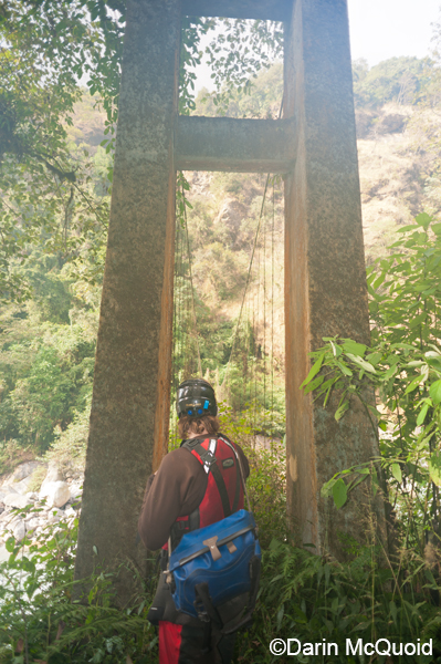
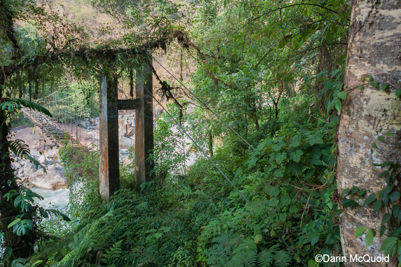
Overgrown
and rotted out, this doesn't
look good. Fog on the lens.
Another view of the same.
Yes this is the "good part" of the trail.
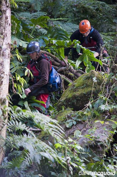
So
we hike up steep jungle. There
is no trail. Imagine the South Branch hike out, in a jungle with slick
mud. Exhausting. Darkness begins to set in. Not too soon we make verbal
contact with someone that hears us as we approach the edge of a
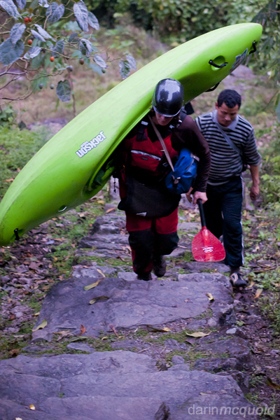
village. Not a moment too soon, we are in the village and met by our
trusty guide, Targain.
Too
exhausted from the eight hour
portage and two hour hike-out we don't worry about tomorrow, wolfing
down dinner and heading to bed.
To be continued in Talung One.
Comment
Box is loading comments...