
| Darin McQuoid | Blog | Reviews | Tutorials | River Directory |
Canyon Creek
North Yuba Tributary
IV-V
North Yuba Tributary
IV-V
Longer ago than I'd like to admit, just shy of a decade, we are sitting in an eddy on the South Fork American between taking turns surfing the First Threat wave. Local Sierra paddling expert Mike Fentress mentions a run he thinks would be of interest, Canyon Creek into the North Yuba. It flies under the radar because the confluence with the North Yuba is not visible from any roads, and the put-in is out somewhere adjacent to the middle of nowhere. His memory, and mine, leave me with a vague impression in 2018. From what I remember two of them ran Canyon Creek, in older model boats. There were a lot of portages but most should be runnable in modern kayaks, maybe even predominately class IV. They did it in one day, hiking out in the dark on a dirt road too steep and rough for their car. There is a great write up here in the AW Archives. I wish I'd seen it before we attempted the run!
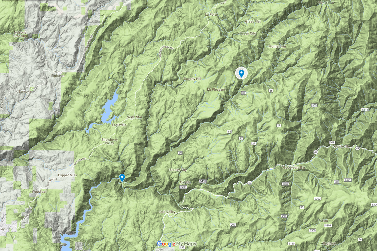
On April 12th, 2012, beta master Cody Howard motivated us on a mission to run a little bit of Deadwood Creek, two drainages down from Canyon Creek. For access Cody found a road that drops all the way to the confluence of Slate Creek and the North Yuba. On this mission we paddled down to Deadwood and attained back upstream. Twelve days later and we're back at the same place, this time to run Slate Creek. From these missions we have a take out for Canyon Creek, as it's a trivial float down from Canyon to Slate on the North Fork Yuba.
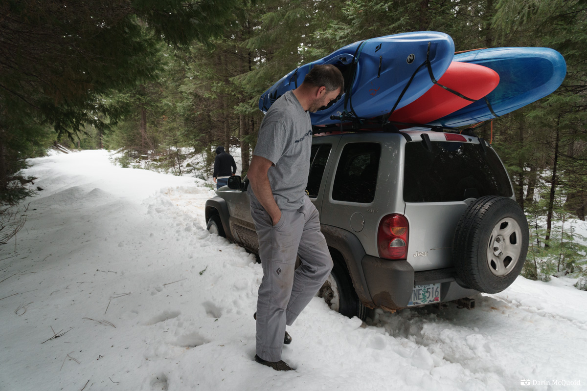
Canyon Creek was just too far away while we lived on the Kaweah River, but a move to Paradise, CA in the fall of 2017 put the creek high on the list as it's a relative backyard run. Watching the Slate Creek gauge indicates flows should be in a good range, and we go for it on April 18th, 2018. We plan on taking two days to cover ~11 miles of river with an average gradient under 200fpm. No need for an early start, people are late anyways and we end up reaching the rough section of road around noon.
Six years later the old back roads are
in worse shape, getting quite overgrown before we start the steep drop
into the canyon. We stage our gear up top and head down.
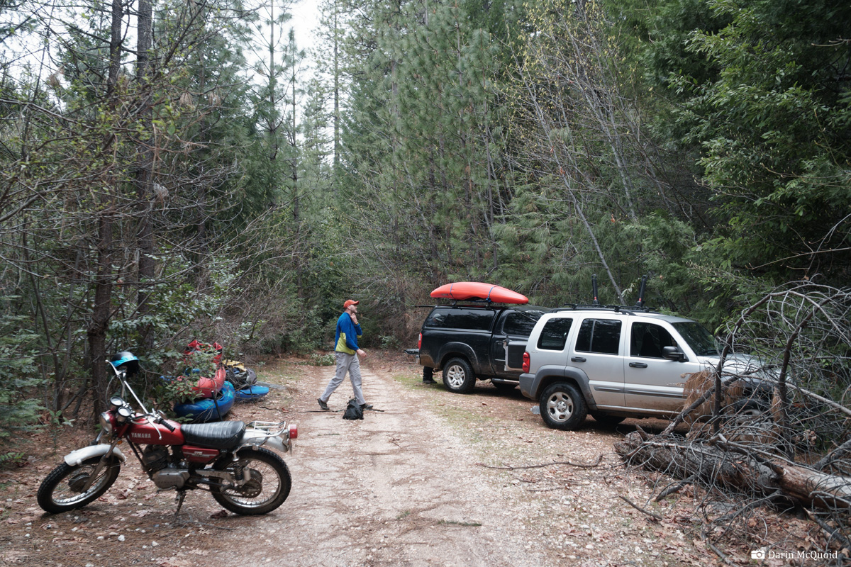
The
rough section is overgrown too, and has several downed logs. It takes
us over two hours just to drop a car at the confluence and come back up with the help of chainsaws.
With
maps we make good progress until we hit snow. Then more snow, and
deeper snow. It's wet spring snow, heavy and soft, perfect for
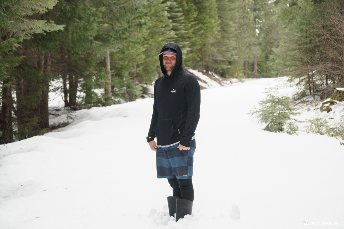
bottoming out in. It's a slow shuttle, 3:58pm and this spot is too deep. Joseph Hatcher, Trevor Tanhoff and Colby Eliott
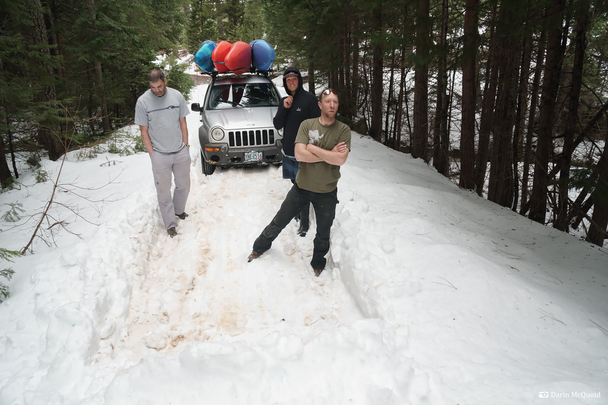
We backtrack, drive around on an alternate route to hit more snow drifts. It's almost five in the afternoon, we're a couple miles from Canyon Creek and snow coverage is complete. With summer sleeping gear we're not too interested in sleeping on the snow, and we agree it's not in our best interest to continue towards the river.
It's just too deep.
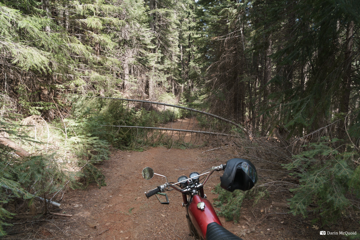
On April 24th I return to scout, and a week of warm weather has melted most of the snow off the roads. A few trees can be handled by a handsaw and the roads are clear.
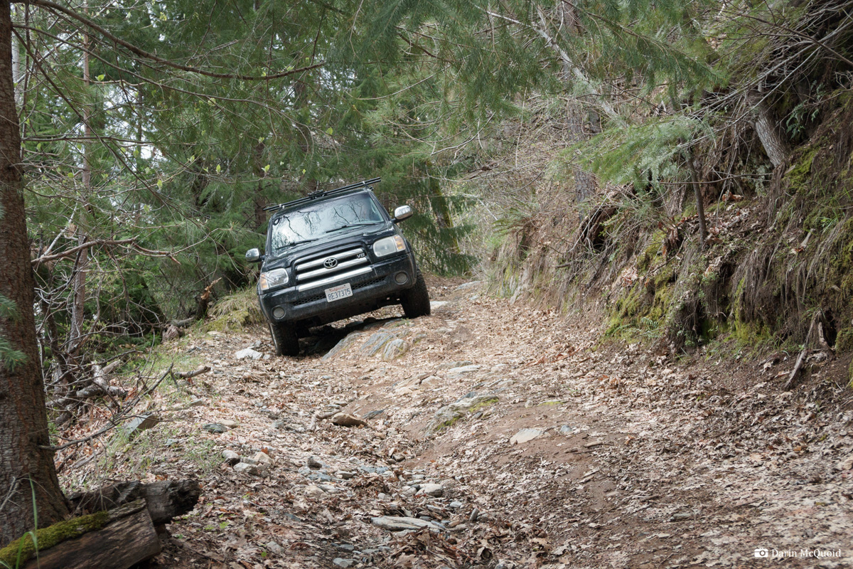
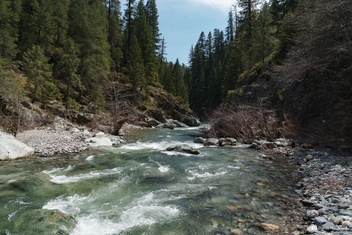
A
steep spur road suitable for jeeps makes a quick descent to the river
in a rare open spot of the canyon. Downstream views look
promising.
HTML
Comment Box is loading comments...